UN/LOCODE hub · United States
USECW
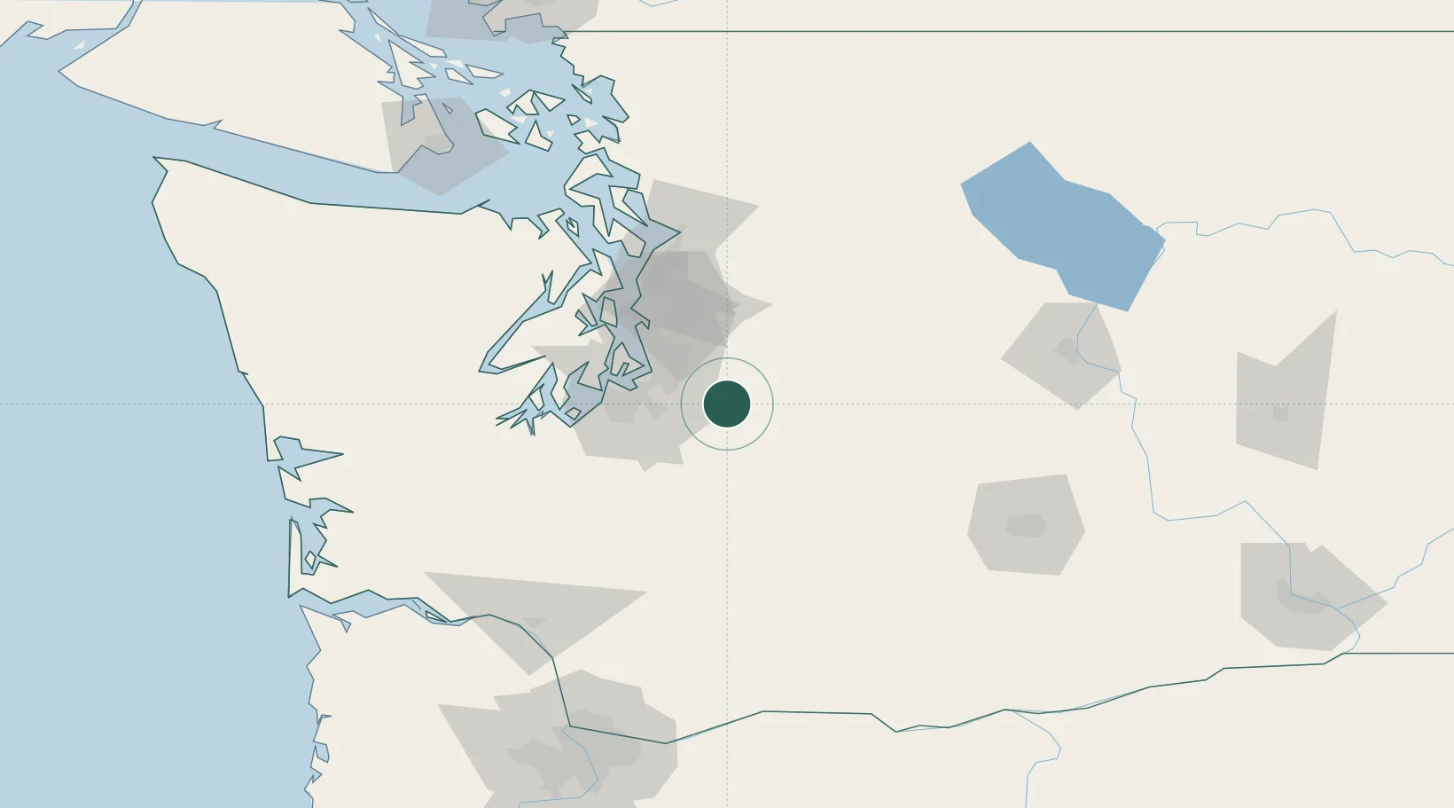
Enumclaw
47.2000°, -121.9667°
11,609
Population
2
Transport functions
Transport Functions
Road
Multimodal
Hub Profile
Place type
Populated place
Region
Washington
Population
11,609
Time zone
America/Los_Angeles
Elevation
232 m
Location
Nearby Logistics Neighbours
Cities
- 1South Prairie12 km
- 2Bonney Lake17 km
- 3Fife30 km
- 4Tacoma33 km
- 5Des Moines35 km
Ports
- 1Tacoma35 km
- 2Seattle52 km
- 3Port Orchard62 km
- 4Bremerton66 km
- 5Olympia73 km
Airports
Trade Zones
- 1FTZ No. 086 Tacoma34 km
- 2FTZ No. 212 Tacoma43 km
- 3FTZ No. 005 Seattle60 km
- 4FTZ No. 216 Olympia75 km
- 5FTZ No. 085 Everett91 km
DatabookThe Record of Consolidated Knowledge
United States beyond logistics?