UN/LOCODE hub · United States
USGIO
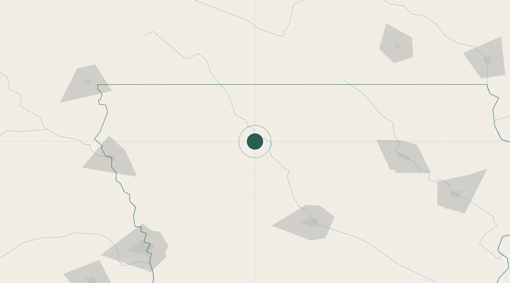
Gilmore City
42.7167°, -94.4333°
491
Population
3
Transport functions
Transport Functions
Rail
Road
Multimodal
Hub Profile
Place type
Populated place
Region
Iowa
Population
491
Time zone
America/Chicago
Elevation
372 m
Location
Nearby Logistics Neighbours
Cities
- 1West Bend26 km
- 2Rockwell City41 km
- 3Goldfield42 km
- 4Emmetsburg49 km
- 5Kanawha58 km
Ports
- 1Superior484 km
- 2Duluth487 km
- 3Ashland516 km
- 4Washburn521 km
- 5Two Harbors526 km
Airports
Trade Zones
- 1FTZ No. 107 Polk County130 km
- 2FTZ No. 288 Northwest Iowa143 km
- 3FTZ No. 220 Sioux Falls213 km
- 4FTZ No. 175 Cedar Rapids232 km
- 5FTZ No. 119 Minneapolis-St. Paul268 km
DatabookThe Record of Consolidated Knowledge
United States beyond logistics?