UN/LOCODE hub · United States
USRXO
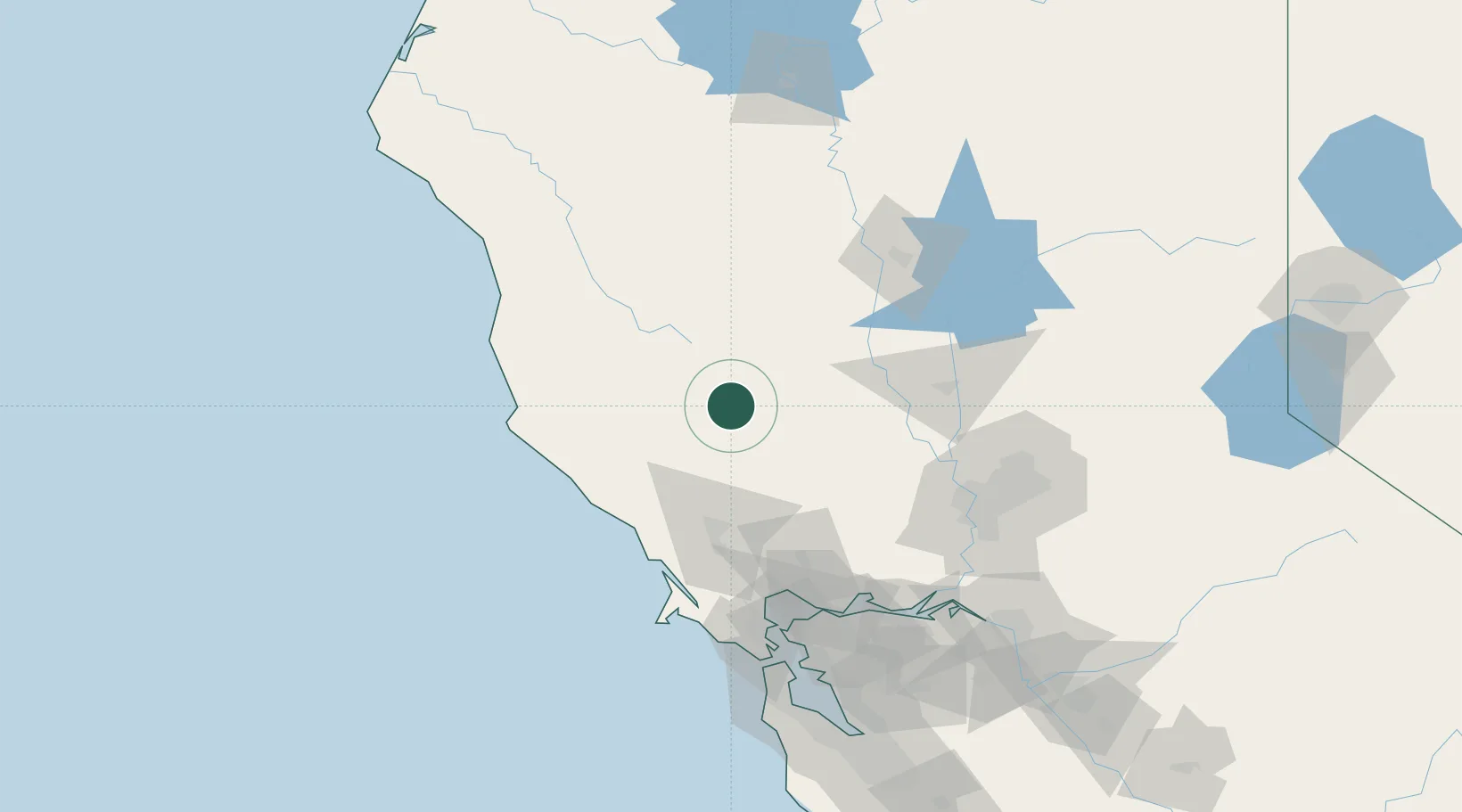
Clearlake Oaks
39.0333°, -122.6667°
2,359
Population
2
Transport functions
Transport Functions
Port
Road
Hub Profile
Place type
Populated place
Region
California
Population
2,359
Time zone
America/Los_Angeles
Elevation
407 m
Location
Nearby Logistics Neighbours
Cities
- 1Kelseyville16 km
- 2Hopland40 km
- 3Cloverdale40 km
- 4Geyserville42 km
- 5Williams46 km
Ports
- 1Bodega Bay85 km
- 2Fort Bragg109 km
- 3Mare Island110 km
- 4South Vallejo112 km
- 5Sacramento113 km
Airports
Trade Zones
- 1FTZ No. 143 West Sacramento111 km
- 2FTZ No. 003 San Francisco140 km
- 3FTZ No. 056 Oakland141 km
- 4FTZ No. 231 Stockton168 km
- 5FTZ No. 018 San Jose201 km
DatabookThe Record of Consolidated Knowledge
United States beyond logistics?