UN/LOCODE hub · United States
USGSL
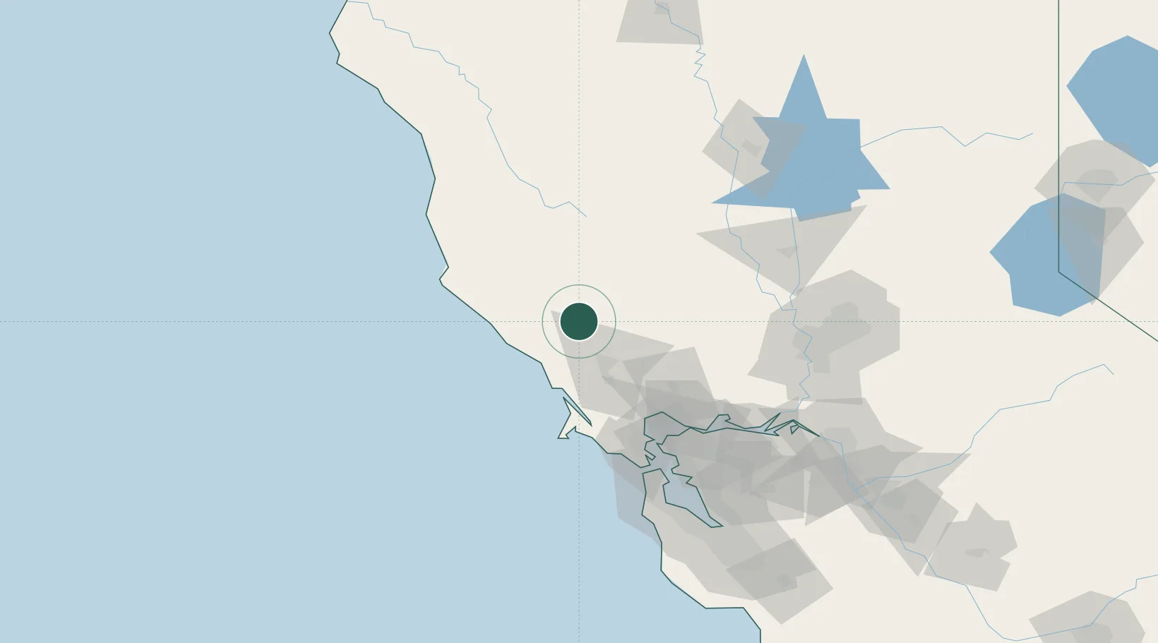
Geyserville
38.7000°, -122.9000°
862
Population
2
Transport functions
Transport Functions
Rail
Road
Hub Profile
Place type
Populated place
Region
California
Population
862
Time zone
America/Los_Angeles
Elevation
65 m
Location
Nearby Logistics Neighbours
Cities
- 1Cloverdale15 km
- 2Guerneville23 km
- 3Forestville26 km
- 4Graton30 km
- 5Kelseyville30 km
Ports
- 1Bodega Bay43 km
- 2Mare Island87 km
- 3South Vallejo89 km
- 4Pinole Point89 km
- 5Oleum91 km
Airports
Trade Zones
- 1FTZ No. 003 San Francisco110 km
- 2FTZ No. 056 Oakland114 km
- 3FTZ No. 143 West Sacramento120 km
- 4FTZ No. 231 Stockton161 km
- 5FTZ No. 018 San Jose176 km
DatabookThe Record of Consolidated Knowledge
United States beyond logistics?