UN/LOCODE hub · United States
USYHD

Hopland

38.9667°, -123.1167°
756
Population
3
Transport functions

Transport Functions

Rail
Road
Multimodal
UN/LOCODE

Hub Profile

Place type
Populated place
GeoNames
Region
California
GeoNames
Population
756
GeoNames
Time zone
America/Los_Angeles
GeoNames
Elevation
153 m
GeoNames

Location

Location of USYHD
Natural Earth 10m (public domain) · California · USYHD · 38.97, -123.12GoogleOSMYandex

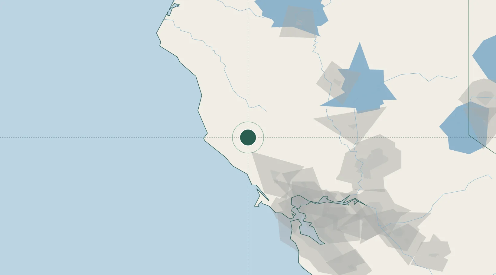
Nearby Logistics Neighbours

Cities
  1. 1Cloverdale21 km
  2. 2Kelseyville25 km
  3. 3Philo29 km
  4. 4Redwood Valley32 km
  5. 5Geyserville35 km
Nearest neighbours — logibook spatial index (haversine) over the source coordinates
Ports
  1. 1Bodega Bay71 km
  2. 2Fort Bragg81 km
  3. 3Mare Island122 km
  4. 4South Vallejo124 km
  5. 5Pinole Point124 km
Nearest neighbours — logibook spatial index (haversine) over the source coordinates
Airports
  1. 1Ukiah Municipal Airport19 km
  2. 2Charles M. Schulz Sonoma County Airport57 km
  3. 3Travis Air Force Base130 km
  4. 4Yuba County Airport134 km
  5. 5Sacramento International Airport136 km
Nearest neighbours — logibook spatial index (haversine) over the source coordinates
Trade Zones
  1. 1FTZ No. 003 San Francisco145 km
  2. 2FTZ No. 143 West Sacramento145 km
  3. 3FTZ No. 056 Oakland149 km
  4. 4FTZ No. 231 Stockton193 km
  5. 5FTZ No. 018 San Jose211 km
Nearest neighbours — logibook spatial index (haversine) over the source coordinates
DatabookThe Record of Consolidated Knowledge
United States beyond logistics?
Browse databook

All Sources

LocationsUN/LOCODE
UN/LOCODE — free
LocationsGeoNames
CC BY 4.0
Portsthe NGA World Port Index
Public domain (US gov)
AirportsOurAirports
Public domain
Trade Zonesthe World Bank SEZ database
CC BY 4.0
Trade ZonesOpen Zone Map
CC BY
← United States locations