UN/LOCODE hub · United States
USKV3
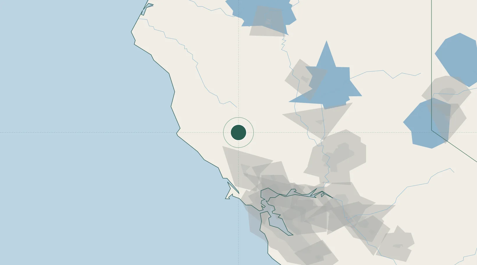
Kelseyville
38.9667°, -122.8333°
3,353
Population
2
Transport functions
Transport Functions
Road
Multimodal
Hub Profile
Place type
Populated place
Region
California
Population
3,353
Time zone
America/Los_Angeles
Elevation
422 m
Location
Nearby Logistics Neighbours
Cities
- 1Clearlake Oaks16 km
- 2Cloverdale24 km
- 3Hopland25 km
- 4Geyserville30 km
- 5Redwood Valley45 km
Ports
- 1Bodega Bay73 km
- 2Fort Bragg100 km
- 3Mare Island108 km
- 4South Vallejo111 km
- 5Pinole Point113 km
Airports
Trade Zones
- 1FTZ No. 143 West Sacramento121 km
- 2FTZ No. 003 San Francisco136 km
- 3FTZ No. 056 Oakland138 km
- 4FTZ No. 231 Stockton173 km
- 5FTZ No. 018 San Jose199 km
DatabookThe Record of Consolidated Knowledge
United States beyond logistics?