UN/LOCODE hub · United States
USIIW
Williams
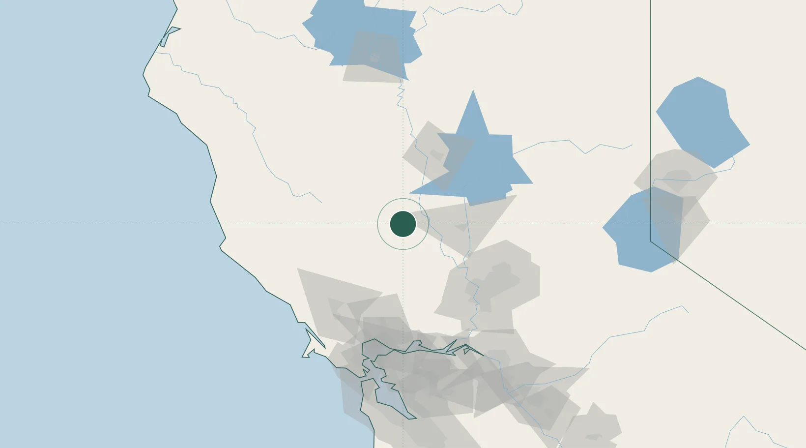
39.1500°, -122.1500°
5,196
Population
4
Transport functions
Transport Functions
Port
Rail
Road
Multimodal
Hub Profile
Place type
Populated place
Region
California
Population
5,196
Time zone
America/Los_Angeles
Elevation
25 m
Location
Nearby Logistics Neighbours
Cities
- 1Maxwell13 km
- 2Grimes25 km
- 3Beale Air Force Base38 km
- 4Live Oak44 km
- 5Sunset45 km
Ports
- 1Sacramento85 km
- 2Courtland104 km
- 3Walnut Grove116 km
- 4Mare Island117 km
- 5Rio Vista118 km
Airports
- 1Yuba County Airport50 km
- 2Beale Air Force Base62 km
- 3Sacramento International Airport70 km
- 4McClellan Airfield84 km
- 5Ukiah Municipal Airport91 km
Trade Zones
- 1FTZ No. 143 West Sacramento83 km
- 2FTZ No. 056 Oakland150 km
- 3FTZ No. 231 Stockton151 km
- 4FTZ No. 003 San Francisco152 km
- 5FTZ No. 018 San Jose203 km
DatabookThe Record of Consolidated Knowledge
United States beyond logistics?