UN/LOCODE hub · United States
USCYI
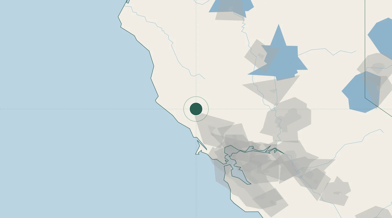
Cloverdale
38.8000°, -123.0167°
8,811
Population
4
Transport functions
Transport Functions
Port
Rail
Road
Multimodal
Hub Profile
Place type
Populated place
Region
California
Population
8,811
Time zone
America/Los_Angeles
Elevation
102 m
Location
Nearby Logistics Neighbours
Cities
- 1Geyserville15 km
- 2Hopland21 km
- 3Kelseyville24 km
- 4Guerneville34 km
- 5Forestville39 km
Ports
- 1Bodega Bay52 km
- 2Fort Bragg100 km
- 3Mare Island102 km
- 4Pinole Point104 km
- 5South Vallejo104 km
Airports
- 1Charles M. Schulz Sonoma County Airport37 km
- 2Ukiah Municipal Airport40 km
- 3Travis Air Force Base112 km
- 4Buchanan Field123 km
- 5Sacramento International Airport124 km
Trade Zones
- 1FTZ No. 003 San Francisco124 km
- 2FTZ No. 056 Oakland128 km
- 3FTZ No. 143 West Sacramento132 km
- 4FTZ No. 231 Stockton175 km
- 5FTZ No. 018 San Jose190 km
DatabookThe Record of Consolidated Knowledge
United States beyond logistics?