Transport Functions
Rail
Road
Hub Profile
Place type
Populated place
Region
British Columbia
Population
5,249
Time zone
America/Edmonton
Elevation
996 m
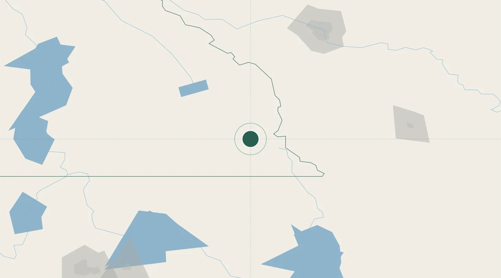
Location
Nearby Logistics Neighbours
Cities
- 1Bull River28 km
- 2Roosville58 km
- 3Roosville58 km
- 4Rexford69 km
- 5Brocket94 km
Ports
- 1Mission City523 km
- 2Bellingham547 km
- 3Everett550 km
- 4Mukilteo558 km
- 5Port Coquitlam558 km
Airports
Trade Zones
- 1FTZ No. 242 Boundary County154 km
- 2Calgary Region Inland Port185 km
- 3FTZ No. 187 Toole County226 km
- 4FTZ No. 224 Spokane271 km
- 5FTZ No. 088 Great Falls348 km
DatabookThe Record of Consolidated Knowledge
Canada beyond logistics?