Transport Functions
Multimodal
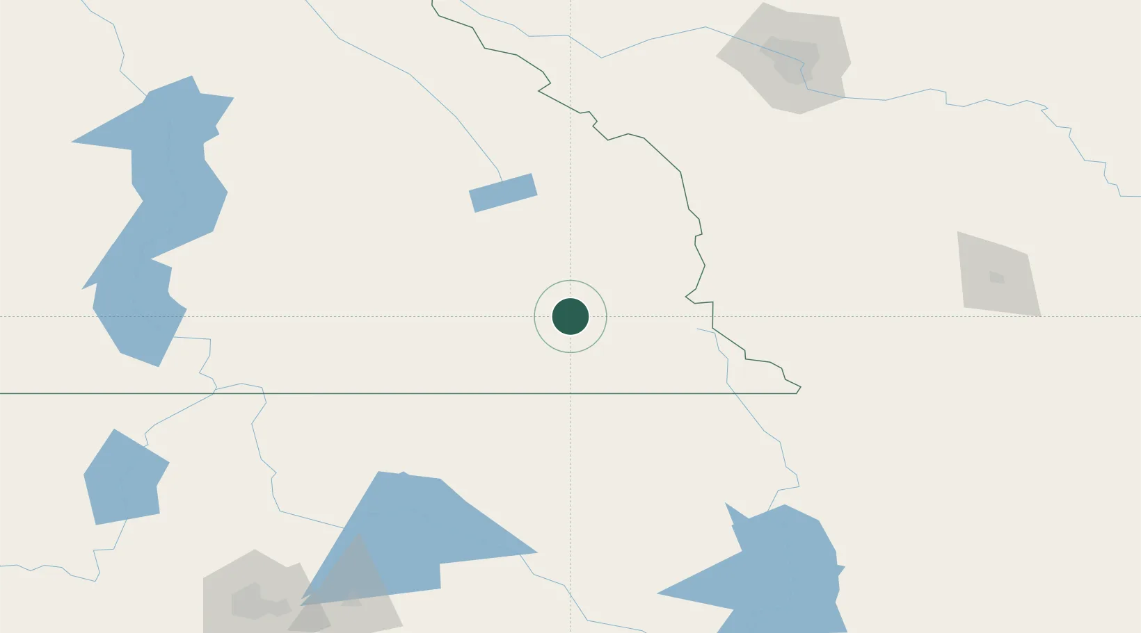
Hub Profile
Place type
Locality
Region
British Columbia
Time zone
America/Edmonton
Elevation
755 m
Location
Nearby Logistics Neighbours
Ports
- 1Mission City495 km
- 2Bellingham519 km
- 3Everett522 km
- 4Mukilteo530 km
- 5Port Coquitlam530 km
Airports
Trade Zones
- 1FTZ No. 242 Boundary County128 km
- 2Calgary Region Inland Port202 km
- 3FTZ No. 187 Toole County249 km
- 4FTZ No. 224 Spokane249 km
- 5FTZ No. 088 Great Falls367 km
DatabookThe Record of Consolidated Knowledge
Canada beyond logistics?