Transport Functions
Road
Multimodal
Hub Profile
Place type
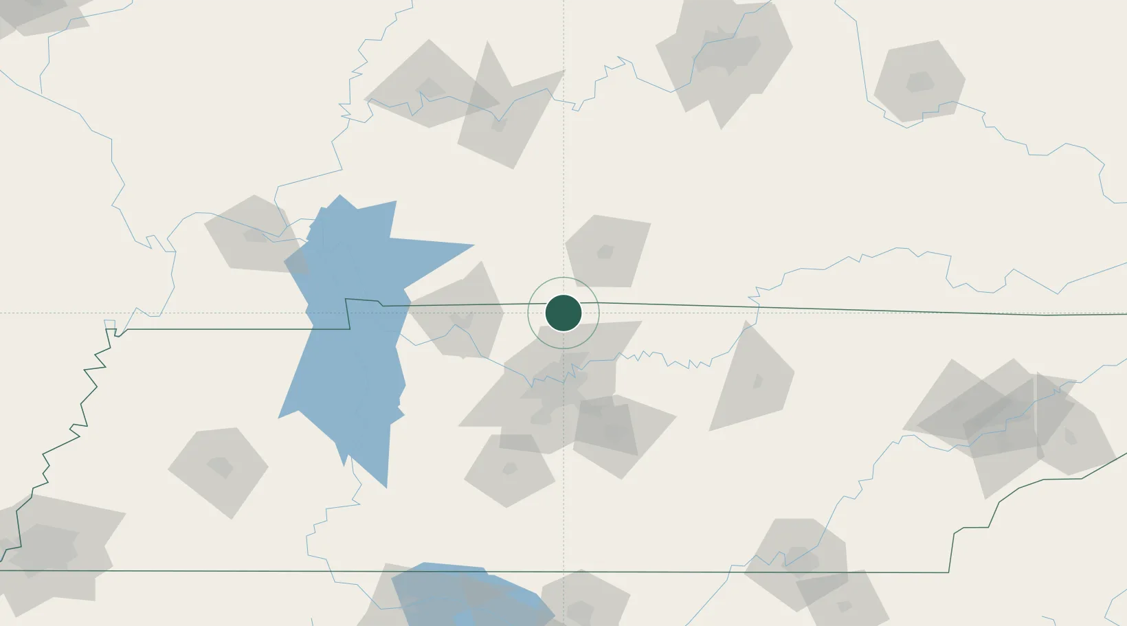
Populated place
Region
Tennessee
Population
887
Time zone
America/Chicago
Elevation
219 m
Location
Nearby Logistics Neighbours
Cities
- 1White House16 km
- 2Greenbrier, Robertson22 km
- 3Cottontown23 km
- 4Russellville30 km
- 5Woorburn31 km
Ports
- 1Port Of Memphis355 km
- 2Gary560 km
- 3Indiana Harbor567 km
- 4Michigan City571 km
- 5Calumet Harbor575 km
Airports
Trade Zones
- 1FTZ No. 078 Nashville56 km
- 2FTZ No. 294 Western Kentucky174 km
- 3FTZ No. 177 Evansville174 km
- 4FTZ No. 029 Louisville202 km
- 5FTZ No. 134 Chattanooga206 km
DatabookThe Record of Consolidated Knowledge
United States beyond logistics?