UN/LOCODE hub · United States
USOEF

Woorburn

36.8333°, -86.5333°
2
Transport functions

Transport Functions

Rail
Road
UN/LOCODE

Hub Profile

Region
KY
GeoNames

Location

Location of USOEF
Natural Earth 10m (public domain) · KY · USOEF · 36.83, -86.53GoogleOSMYandex

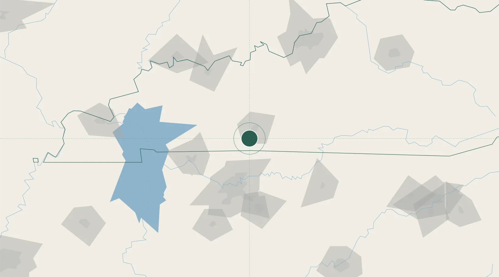
Nearby Logistics Neighbours

Cities
  1. 1Woodburn2 km
  2. 2South Union12 km
  3. 3Orlinda31 km
  4. 4Russellville31 km
  5. 5White House42 km
Nearest neighbours — logibook spatial index (haversine) over the source coordinates
Ports
  1. 1Port Of Memphis382 km
  2. 2Gary536 km
  3. 3Indiana Harbor543 km
  4. 4Michigan City546 km
  5. 5Calumet Harbor551 km
Nearest neighbours — logibook spatial index (haversine) over the source coordinates
Airports
  1. 1Bowling Green Warren County Regional Airport18 km
  2. 2Nashville International Airport80 km
  3. 3Campbell Army Airfield (Fort Campbell)87 km
  4. 4Smyrna Airport92 km
  5. 5Owensboro Daviess County Airport115 km
Nearest neighbours — logibook spatial index (haversine) over the source coordinates
Trade Zones
  1. 1FTZ No. 078 Nashville86 km
  2. 2FTZ No. 177 Evansville161 km
  3. 3FTZ No. 029 Louisville172 km
  4. 4FTZ No. 294 Western Kentucky184 km
  5. 5FTZ No. 134 Chattanooga219 km
Nearest neighbours — logibook spatial index (haversine) over the source coordinates
DatabookThe Record of Consolidated Knowledge
United States beyond logistics?
Browse databook

All Sources

LocationsUN/LOCODE
UN/LOCODE — free
Portsthe NGA World Port Index
Public domain (US gov)
AirportsOurAirports
Public domain
Trade Zonesthe World Bank SEZ database
CC BY 4.0
Trade ZonesOpen Zone Map
CC BY
← United States locations