Seaplane base · United States

New York Skyports Inc Seaplane Base6N7
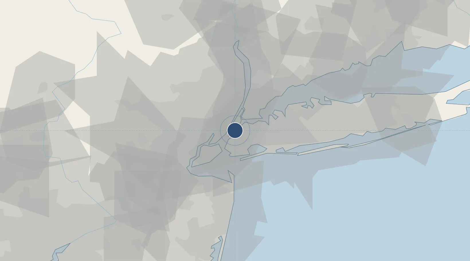
40.7351°, -73.9728°
10,000 ft
Longest runway
1
Runways

Runway & Layout

New York Skyports Inc Seaplane Base runway & taxiway layout
Runway & taxiway layout — OpenStreetMap (ODbL) / OurAirports

Runways · 1

RunwayDimensions SurfaceTrue headingLit
N/S 10,000 × 1000ft Water
OurAirports

Airport Specifications

IATA code
NYS
OurAirports
Airport class
Seaplane base
OurAirports
Scheduled service
Yes
OurAirports
Runway surface
Water
OurAirports
Served city
New York
OurAirports

Location

Location of 6N7
Natural Earth 10m (public domain) · New Jersey · 6N7 · 40.74, -73.97GoogleOSMYandex

Nearby Logistics Neighbours

Airports
  1. 1East 34th Street Heliport1 km
  2. 2West 30th Street Heliport4 km
  3. 3LaGuardia Airport10 km
  4. 4Teterboro Airport15 km
  5. 5Newark Liberty International Airport17 km
Nearest neighbours — logibook spatial index (haversine) over the source coordinates
Cities
  1. 1Sunnyside, Queens5 km
  2. 2Manhattan/New York5 km
  3. 3Guttenberg6 km
  4. 4Linden Hill6 km
  5. 5Brooklyn/New York6 km
Nearest neighbours — logibook spatial index (haversine) over the source coordinates
Ports
  1. 1Hoboken4 km
  2. 2Weehawken5 km
  3. 3New York City5 km
  4. 4Jersey City6 km
  5. 5Brooklyn9 km
Nearest neighbours — logibook spatial index (haversine) over the source coordinates
Trade Zones
  1. 1FTZ No. 001 New York City4 km
  2. 2FTZ No. 049 Newark Elizabeth18 km
  3. 3FTZ No. 052 Suffolk County68 km
  4. 4FTZ No. 044 Morris County76 km
  5. 5FTZ No. 235 Lakewood77 km
Nearest neighbours — logibook spatial index (haversine) over the source coordinates
DatabookThe Record of Consolidated Knowledge
United States beyond logistics?
Browse databook

All Sources

AirportsOurAirports
Public domain
Portsthe NGA World Port Index
Public domain (US gov)
LocationsUN/LOCODE
UN/LOCODE — free
Trade Zonesthe World Bank SEZ database
CC BY 4.0
Trade ZonesOpen Zone Map
CC BY
InfrastructureOpenStreetMap
ODbL 1.0
← United States airports