UN/LOCODE hub · United States
USRQQ
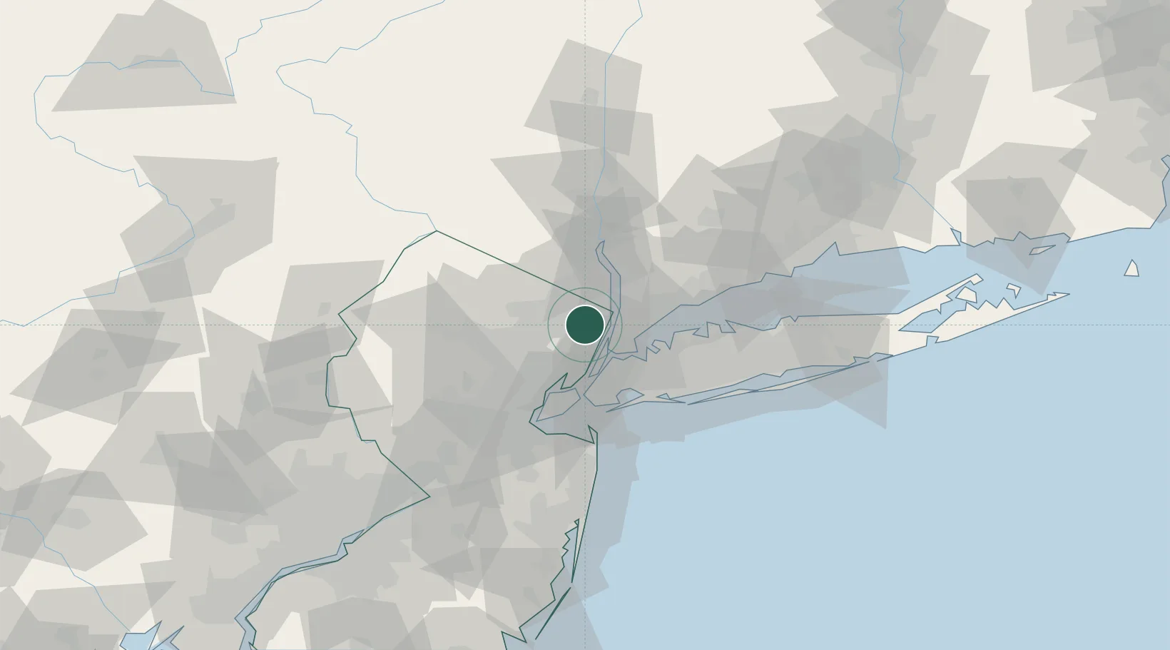
River Edge
40.9333°, -74.0333°
11,668
Population
3
Transport functions
Transport Functions
Rail
Road
Multimodal
Hub Profile
Place type
Populated place
Region
New Jersey
Population
11,668
Time zone
America/New_York
Elevation
17 m
Location
Nearby Logistics Neighbours
Ports
- 1Yonkers11 km
- 2Edgewater14 km
- 3Weehawken19 km
- 4Hoboken20 km
- 5City Island23 km
Airports
- 1Teterboro Airport10 km
- 2West 30th Street Heliport20 km
- 3East 34th Street Heliport22 km
- 4LaGuardia Airport22 km
- 5New York Skyports Inc Seaplane Base23 km
Trade Zones
DatabookThe Record of Consolidated Knowledge
United States beyond logistics?