UN/LOCODE hub · United States
USRTI
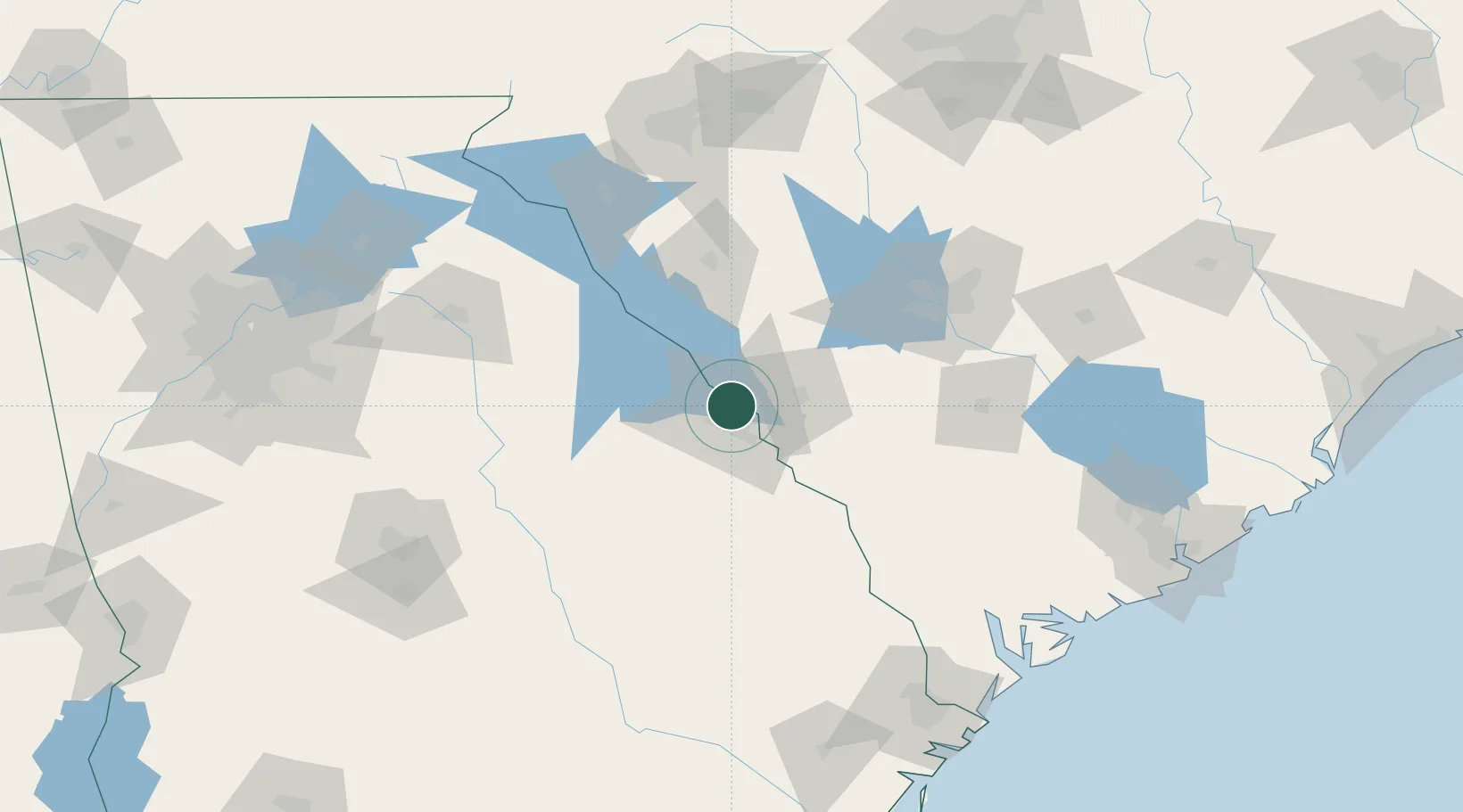
Martinez
33.5167°, -82.0667°
35,795
Population
3
Transport functions
Transport Functions
Rail
Road
Multimodal
Hub Profile
Place type
Populated place
Region
Georgia
Population
35,795
Time zone
America/New_York
Elevation
110 m
Location
Nearby Logistics Neighbours
Cities
- 1North Augusta10 km
- 2Grovetown12 km
- 3Fort Gordon14 km
- 4Dearing31 km
- 5Trenton32 km
Ports
- 1Beaufort178 km
- 2Port Royal182 km
- 3Savannah184 km
- 4Charleston216 km
- 5Darien246 km
Airports
Trade Zones
- 1FTZ No. 127 West Columbia102 km
- 2FTZ No. 021 Dorchester County135 km
- 3FTZ No. 038 Spartanburg County153 km
- 4FTZ No. 104 Savannah183 km
- 5FTZ No. 057 Mecklenburg County214 km
DatabookThe Record of Consolidated Knowledge
United States beyond logistics?