UN/LOCODE hub · United States
USNAU
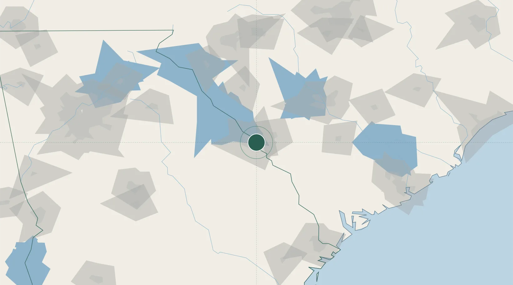
North Augusta
33.4667°, -81.9833°
22,522
Population
3
Transport functions
Transport Functions
Port
Rail
Road
Hub Profile
Place type
Populated place
Region
South Carolina
Population
22,522
Time zone
America/New_York
Elevation
118 m
Location
Nearby Logistics Neighbours
Cities
- 1Martinez10 km
- 2Fort Gordon16 km
- 3Grovetown19 km
- 4Trenton33 km
- 5Dearing38 km
Ports
- 1Beaufort168 km
- 2Port Royal172 km
- 3Savannah175 km
- 4Charleston207 km
- 5Darien239 km
Airports
Trade Zones
- 1FTZ No. 127 West Columbia98 km
- 2FTZ No. 021 Dorchester County126 km
- 3FTZ No. 038 Spartanburg County160 km
- 4FTZ No. 104 Savannah174 km
- 5FTZ No. 057 Mecklenburg County216 km
DatabookThe Record of Consolidated Knowledge
United States beyond logistics?