Transport Functions
Rail
Road
Hub Profile
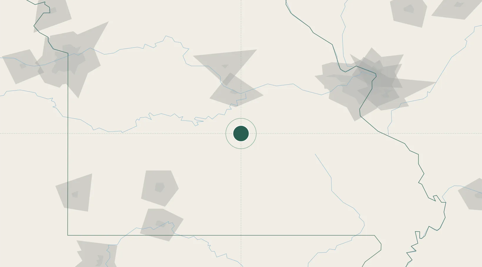
Place type
Populated place
Region
Missouri
Population
1,499
Time zone
America/Chicago
Elevation
356 m
Location
Nearby Logistics Neighbours
Cities
- 1Richland30 km
- 2Saint James44 km
- 3Belle47 km
- 4Linn Creek53 km
- 5Eldon59 km
Ports
- 1Port Of Memphis367 km
- 2Indiana Harbor571 km
- 3Calumet Harbor572 km
- 4Gary573 km
- 5Chicago579 km
Airports
Trade Zones
- 1FTZ No. 225 Springfield127 km
- 2FTZ No. 102 St. Louis County142 km
- 3FTZ No. 031 Granite City186 km
- 4FTZ No. 015 Kansas City262 km
- 5FTZ No. 017 Kansas City270 km
DatabookThe Record of Consolidated Knowledge
United States beyond logistics?