Transport Functions
Rail
Road
Multimodal
Hub Profile
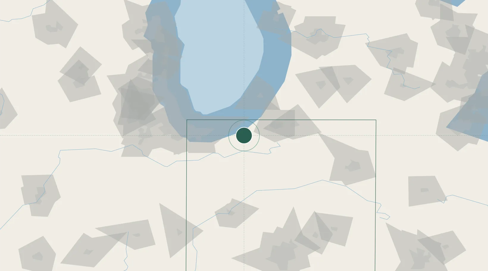
Place type
Populated place
Region
Indiana
Population
245
Time zone
America/Chicago
Elevation
228 m
Location
Nearby Logistics Neighbours
Cities
- 1Rolling Prairie16 km
- 2Walkerton20 km
- 3Three Oaks29 km
- 4Chesterton30 km
- 5Galien34 km
Ports
- 1Michigan City28 km
- 2Gary54 km
- 3Indiana Harbor63 km
- 4St Joseph67 km
- 5Calumet Harbor71 km
Airports
Trade Zones
- 1FTZ No. 125 South Bend33 km
- 2FTZ No. 152 Burns Harbor40 km
- 3FTZ No. 022 Chicago103 km
- 4FTZ No. 182 Fort Wayne128 km
- 5FTZ No. 292 Lake County132 km
DatabookThe Record of Consolidated Knowledge
United States beyond logistics?