Transport Functions
Rail
Road
Hub Profile
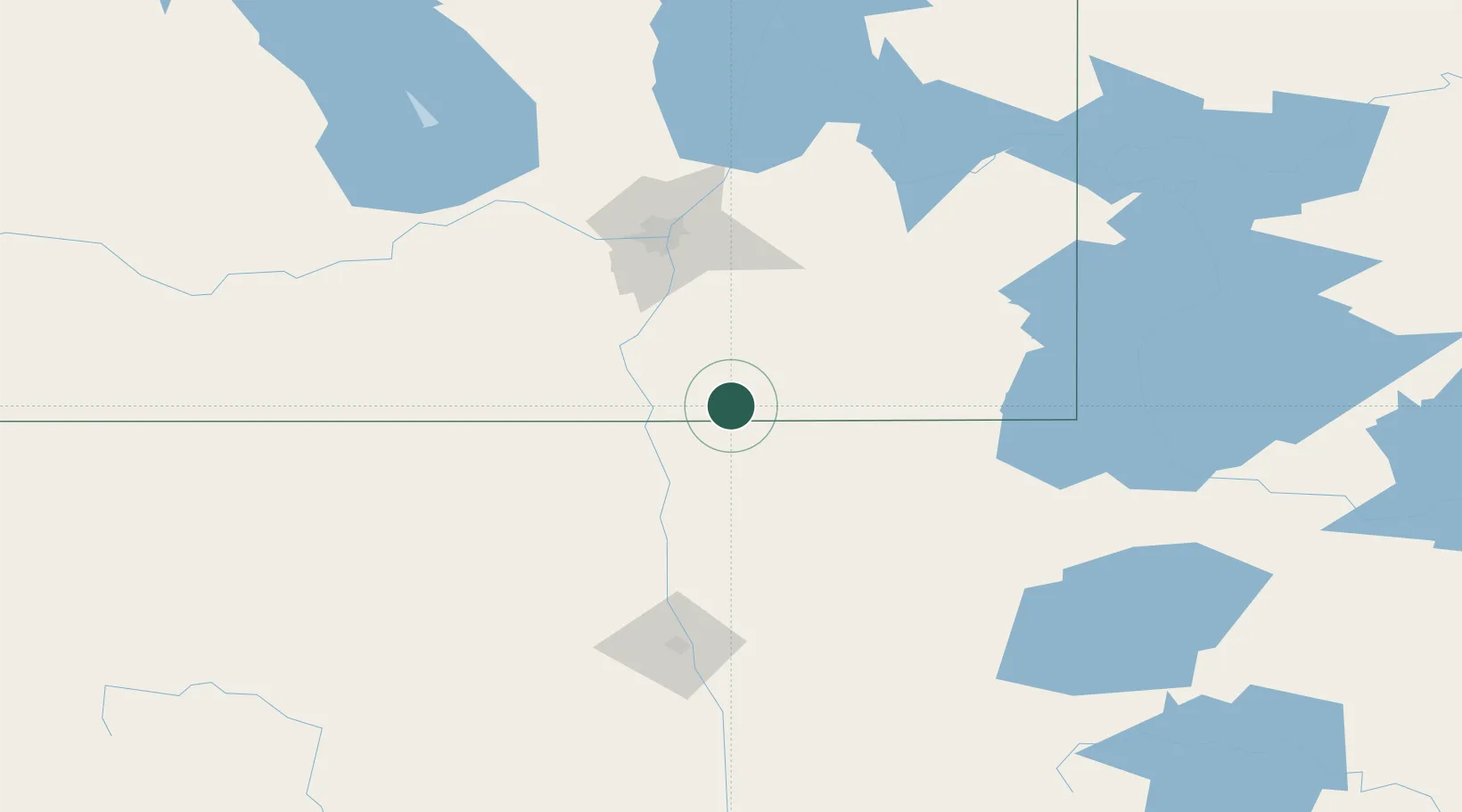
Region
MB
Location
Nearby Logistics Neighbours
Cities
- 1Lancaster24 km
- 2Emerson30 km
- 3Morris50 km
- 4Steinbach51 km
- 5Otterburne51 km
Ports
- 1Duluth435 km
- 2Superior439 km
- 3Two Harbors447 km
- 4Grand Marais500 km
- 5Bayfield513 km
Airports
Trade Zones
- 1Winnipegs Centreport Canada95 km
- 2FTZ No. 103 Grand Forks131 km
- 3FTZ No. 259 Koochiching County204 km
- 4FTZ No. 267 Fargo246 km
- 5FTZ No. 051 Duluth426 km
DatabookThe Record of Consolidated Knowledge
Canada beyond logistics?