Transport Functions
Port
Rail
Road
Hub Profile
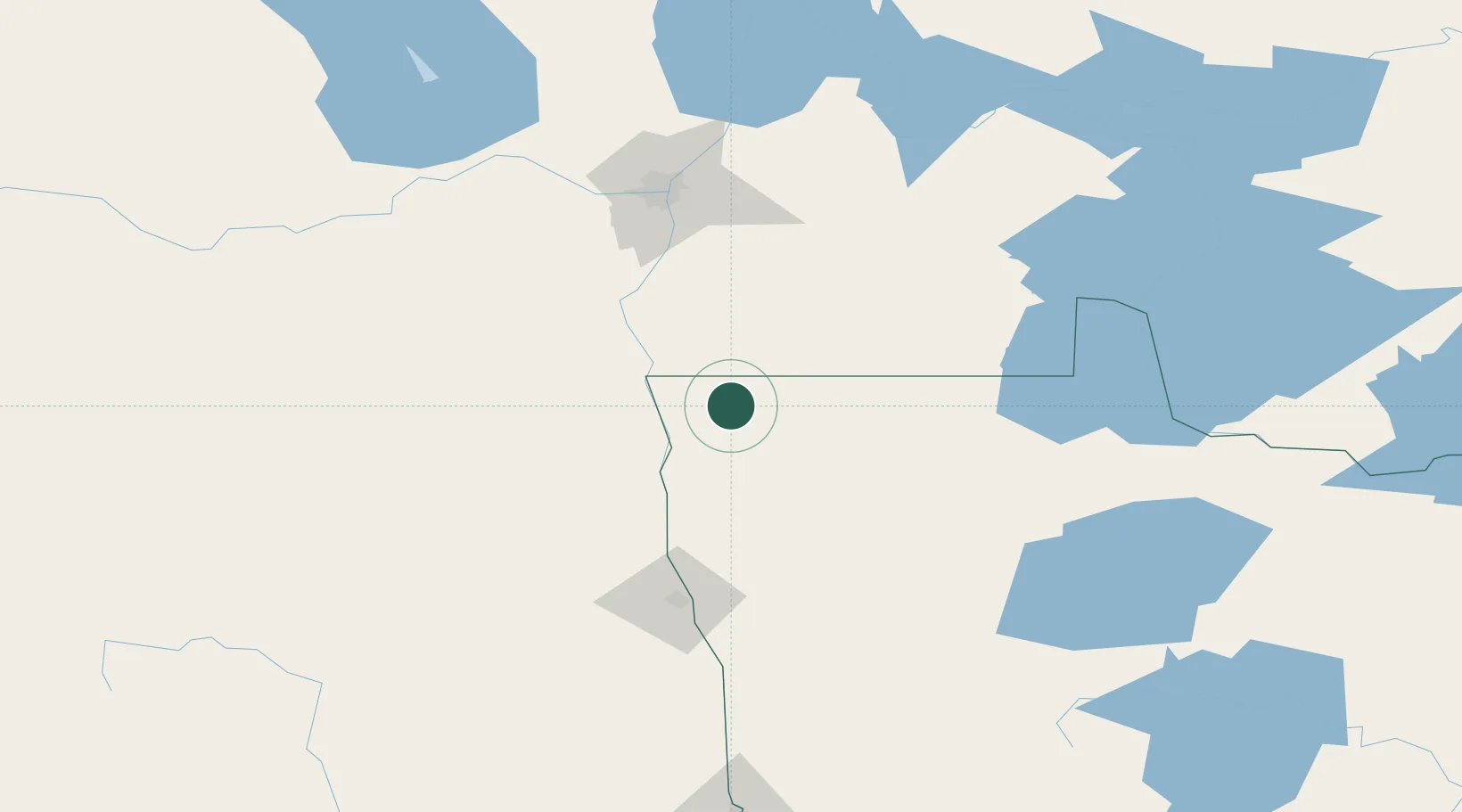
Place type
Populated place
Region
Minnesota
Population
331
Time zone
America/Chicago
Elevation
277 m
Location
Nearby Logistics Neighbours
Ports
- 1Duluth422 km
- 2Superior426 km
- 3Two Harbors435 km
- 4Grand Marais495 km
- 5Bayfield502 km
Airports
Trade Zones
- 1FTZ No. 103 Grand Forks107 km
- 2Winnipegs Centreport Canada119 km
- 3FTZ No. 259 Koochiching County195 km
- 4FTZ No. 267 Fargo222 km
- 5FTZ No. 051 Duluth412 km
DatabookThe Record of Consolidated Knowledge
United States beyond logistics?