UN/LOCODE hub · United States
USRNK
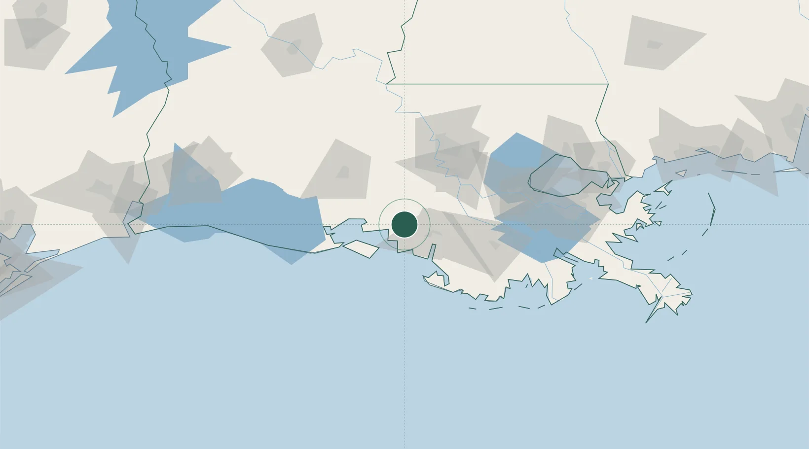
Franklin
29.7833°, -91.5000°
7,302
Population
3
Transport functions
Transport Functions
Rail
Road
Multimodal
Hub Profile
Place type
Provincial seat
Region
Louisiana
Population
7,302
Time zone
America/Chicago
Elevation
3 m
Location
Nearby Logistics Neighbours
Cities
- 1Baldwin7 km
- 2Berwick30 km
- 3Amelia41 km
- 4Paincourtville49 km
- 5Cade51 km
Ports
- 1Morgan City29 km
- 2St. James68 km
- 3Convent69 km
- 4Baton Rouge80 km
- 5Reserve96 km
Airports
Trade Zones
DatabookThe Record of Consolidated Knowledge
United States beyond logistics?