Transport Functions
Port
Rail
Road
Hub Profile
Place type
Populated place
Region
Louisiana
Population
4,765
Time zone
America/Chicago
Elevation
1 m
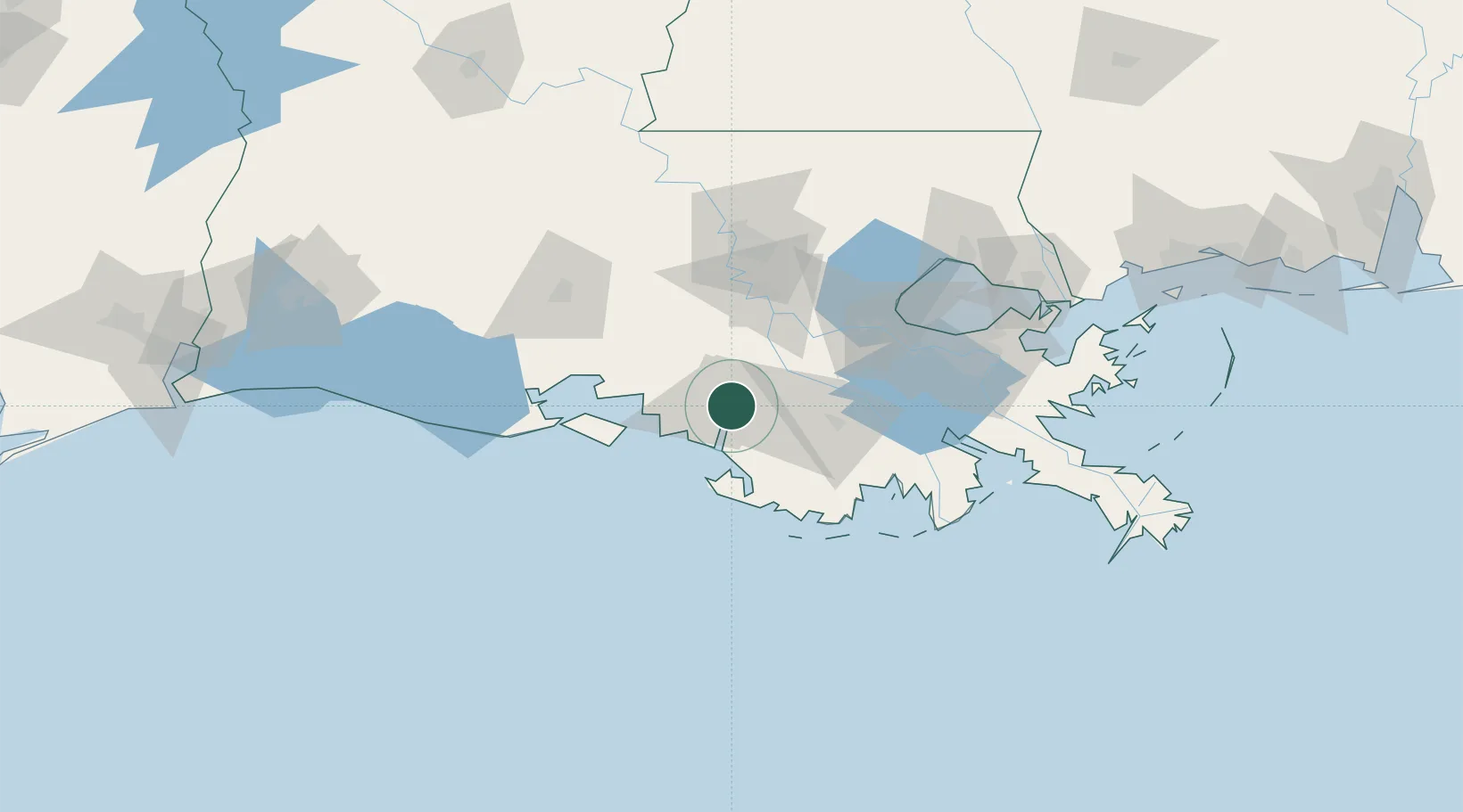
Location
Nearby Logistics Neighbours
Cities
- 1Amelia12 km
- 2Franklin30 km
- 3Baldwin36 km
- 4Paincourtville37 km
- 5Gray42 km
Ports
- 1Morgan City2 km
- 2St. James50 km
- 3Convent52 km
- 4Reserve76 km
- 5Baton Rouge85 km
Airports
Trade Zones
DatabookThe Record of Consolidated Knowledge
United States beyond logistics?