Transport Functions
Rail
Road
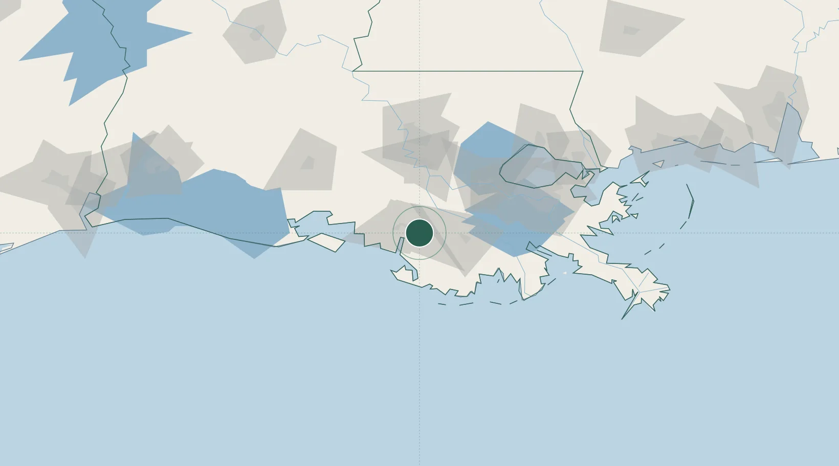
Hub Profile
Place type
Populated place
Region
Louisiana
Population
2,459
Time zone
America/Chicago
Elevation
2 m
Location
Nearby Logistics Neighbours
Cities
- 1Berwick12 km
- 2Gray31 km
- 3Paincourtville37 km
- 4Franklin41 km
- 5Saint James45 km
Ports
- 1Morgan City13 km
- 2St. James45 km
- 3Convent48 km
- 4Reserve69 km
- 5Destrehan78 km
Airports
Trade Zones
DatabookThe Record of Consolidated Knowledge
United States beyond logistics?