Transport Functions
Rail
Road
Hub Profile
Place type
Populated place
Region
Louisiana
Population
1,723
Time zone
America/Chicago
Elevation
10 m
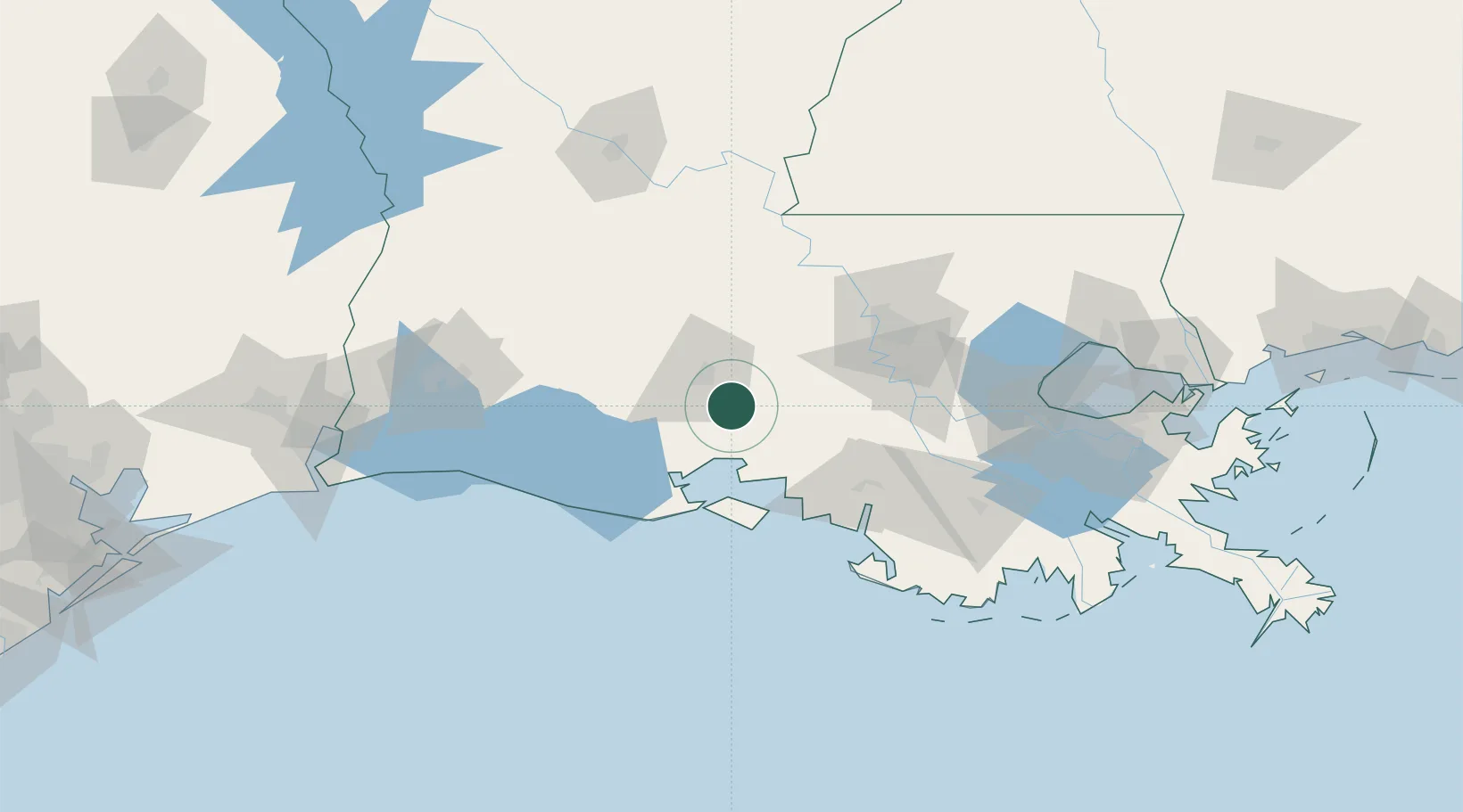
Location
Nearby Logistics Neighbours
Cities
- 1Broussard, Lafayette7 km
- 2Carencro30 km
- 3Arnaudville35 km
- 4Grand Coteau39 km
- 5Sunset40 km
Ports
- 1Morgan City79 km
- 2Baton Rouge80 km
- 3Convent103 km
- 4St. James104 km
- 5Reserve130 km
Airports
Trade Zones
DatabookThe Record of Consolidated Knowledge
United States beyond logistics?