Transport Functions
Port
Rail
Road
Multimodal
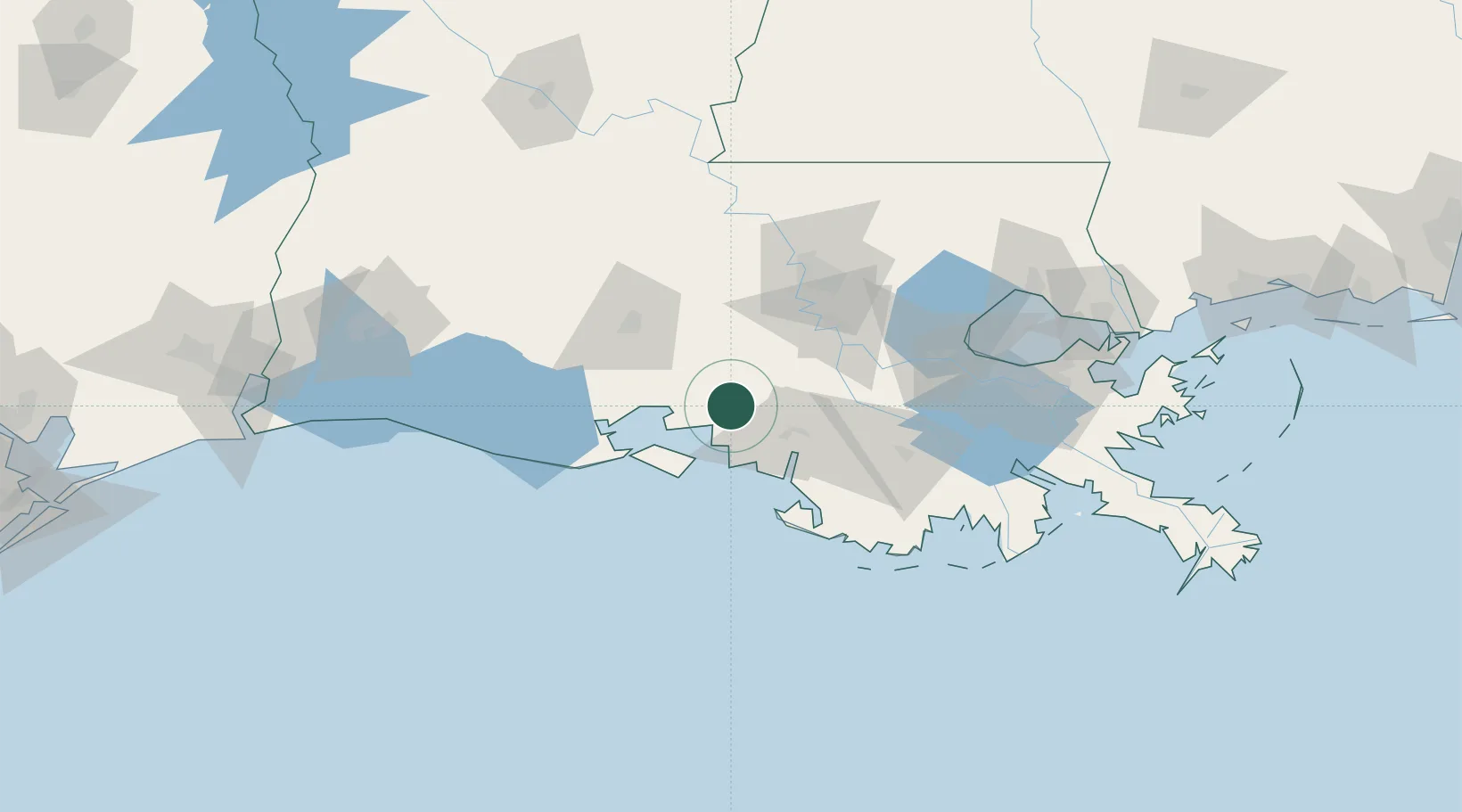
Hub Profile
Place type
Populated place
Region
Louisiana
Population
2,345
Time zone
America/Chicago
Elevation
5 m
Location
Nearby Logistics Neighbours
Cities
- 1Franklin7 km
- 2Berwick36 km
- 3Cade44 km
- 4Amelia48 km
- 5Broussard, Lafayette51 km
Ports
- 1Morgan City35 km
- 2St. James72 km
- 3Convent72 km
- 4Baton Rouge77 km
- 5Reserve99 km
Airports
Trade Zones
DatabookThe Record of Consolidated Knowledge
United States beyond logistics?