Medium airport · United States

DuBois Regional AirportKDUJ
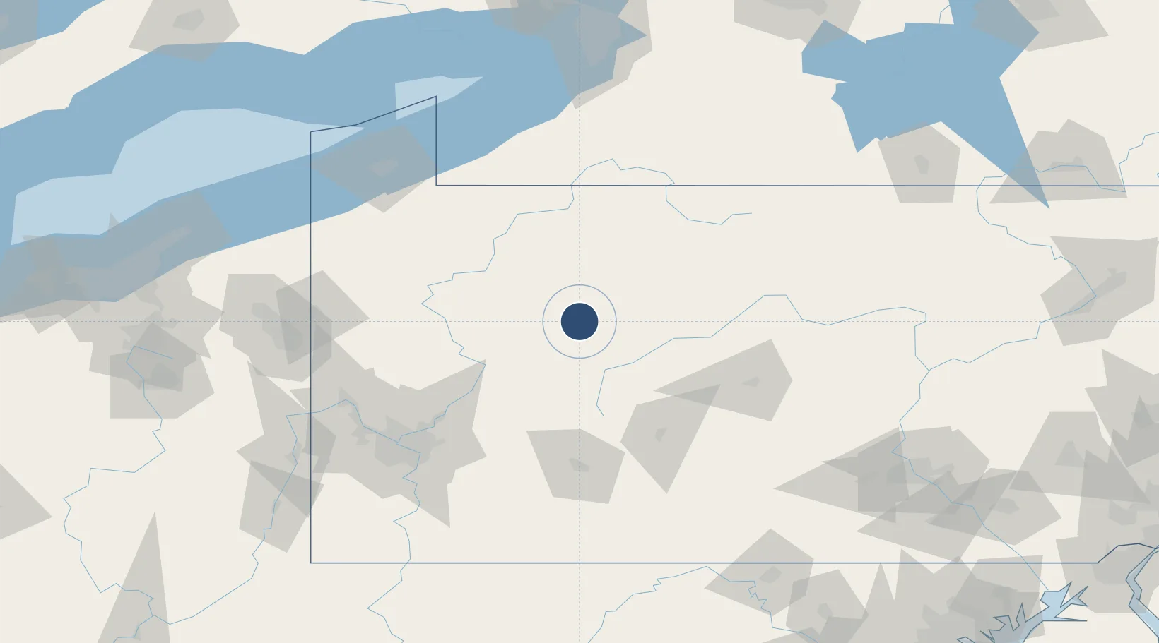
41.1783°, -78.8987°
5,503 ft
Longest runway
1
Runways
1,817 ft
Elevation

Runway & Layout

DuBois Regional Airport runway & taxiway layout
Runway & taxiway layout — OpenStreetMap (ODbL) / OurAirports

Radio Frequencies

ASOS
119.025 MHz
CTAF
123 MHz
CNTR
126.72 MHz
CLEVELAND CNTR
RDO
122.2 MHz
ALTOONA RDO
UNIC
123 MHz
UNICOM
OurAirports

Runways · 1

RunwayDimensions SurfaceTrue headingLit
07/25 5,503 × 100ft Asphalt 062°
OurAirports

Airport Specifications

IATA code
DUJ
OurAirports
ICAO code
KDUJ
OurAirports
Airport class
Medium airport
OurAirports
Scheduled service
Yes
OurAirports
Runway surface
Asphalt
OurAirports
Served city
Dubois
OurAirports

Location

Location of KDUJ
Natural Earth 10m (public domain) · Pennsylvania · KDUJ · 41.18, -78.90GoogleOSMYandex

Nearby Logistics Neighbours

Airports
  1. 1Bradford Regional Airport73 km
  2. 2Venango Regional Airport83 km
  3. 3State College Regional Airport95 km
  4. 4John Murtha Johnstown Cambria County Airport96 km
  5. 5Arnold Palmer Regional Airport109 km
Nearest neighbours — logibook spatial index (haversine) over the source coordinates
Cities
  1. 1Reynoldsville11 km
  2. 2Brockport17 km
  3. 3Punxsutawney28 km
  4. 4Middleton36 km
  5. 5Hawthorn36 km
Nearest neighbours — logibook spatial index (haversine) over the source coordinates
Ports
  1. 1Erie147 km
  2. 2Dunkirk150 km
  3. 3Conneaut163 km
  4. 4Ashtabula177 km
  5. 5Buffalo190 km
Nearest neighbours — logibook spatial index (haversine) over the source coordinates
Trade Zones
  1. 1FTZ No. 295 Central Pennsylvania16 km
  2. 2FTZ No. 254 Jefferson County31 km
  3. 3FTZ No. 033 Pittsburgh128 km
  4. 4FTZ No. 247 Erie145 km
  5. 5FTZ No. 023 Buffalo189 km
Nearest neighbours — logibook spatial index (haversine) over the source coordinates
DatabookThe Record of Consolidated Knowledge
United States beyond logistics?
Browse databook

All Sources

AirportsOurAirports
Public domain
Portsthe NGA World Port Index
Public domain (US gov)
LocationsUN/LOCODE
UN/LOCODE — free
Trade Zonesthe World Bank SEZ database
CC BY 4.0
Trade ZonesOpen Zone Map
CC BY
InfrastructureOpenStreetMap
ODbL 1.0
← United States airports