Transport Functions
Port
Multimodal
Hub Profile
Place type
Provincial seat
Region
Pennsylvania
Population
451
Time zone
America/New_York
Elevation
331 m
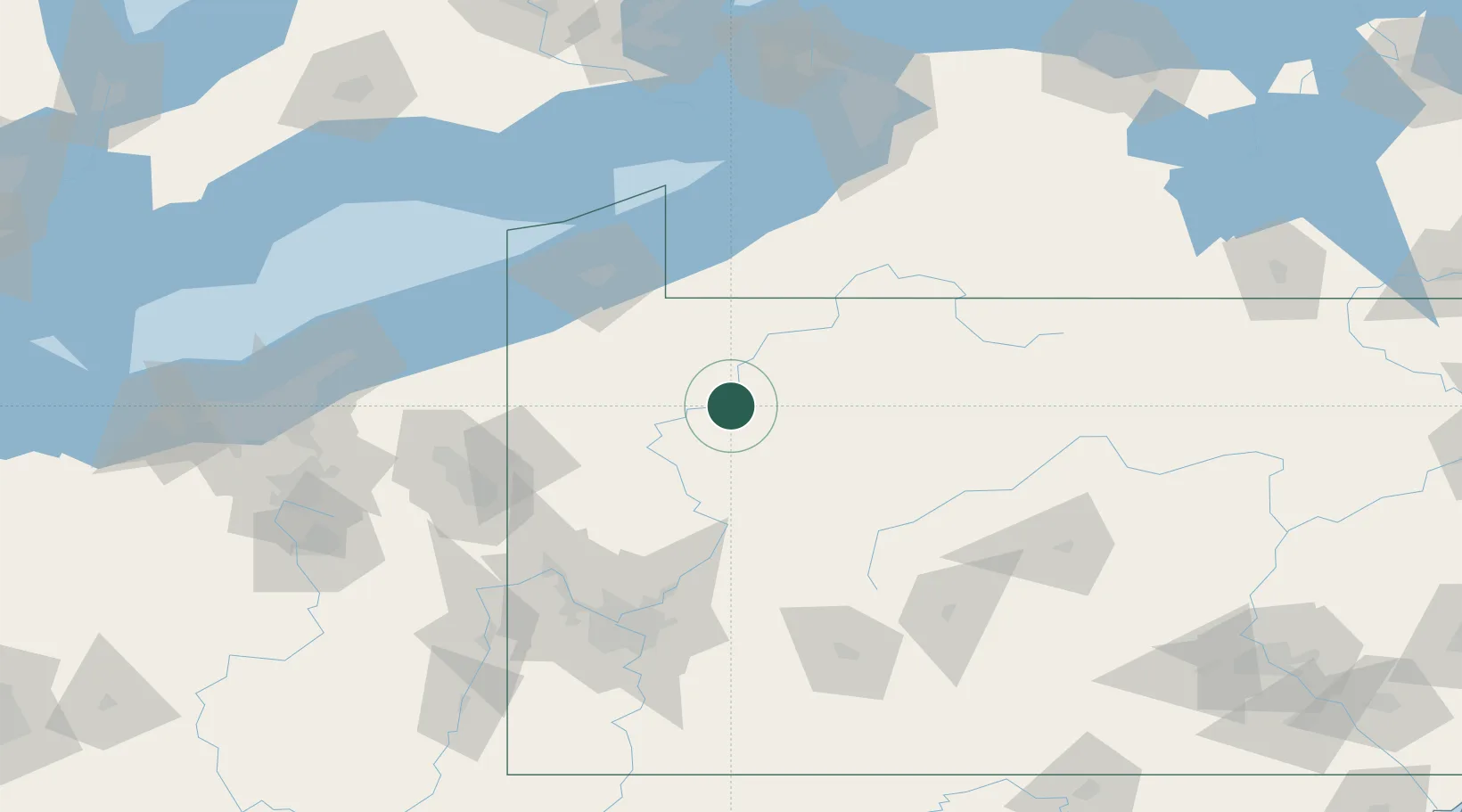
Location
Nearby Logistics Neighbours
Cities
- 1Shippenville26 km
- 2Reno27 km
- 3Emlenton41 km
- 4Spartansburg42 km
- 5Clarendon Heights44 km
Ports
- 1Erie92 km
- 2Conneaut106 km
- 3Dunkirk112 km
- 4Ashtabula121 km
- 5Port Maitland152 km
Airports
Trade Zones
- 1FTZ No. 254 Jefferson County59 km
- 2FTZ No. 295 Central Pennsylvania73 km
- 3FTZ No. 247 Erie89 km
- 4FTZ No. 033 Pittsburgh127 km
- 5FTZ No. 023 Buffalo162 km
DatabookThe Record of Consolidated Knowledge
United States beyond logistics?