UN/LOCODE hub · United States
USYNV
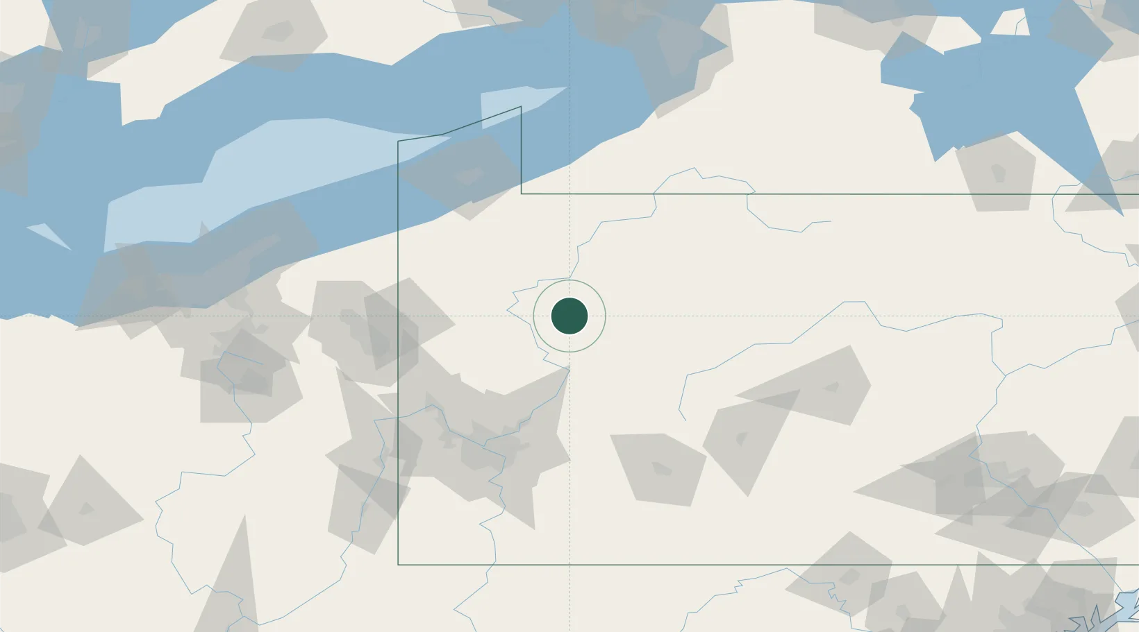
Shippenville
41.2500°, -79.4667°
454
Population
3
Transport functions
Transport Functions
Rail
Road
Multimodal
Hub Profile
Place type
Populated place
Region
Pennsylvania
Population
454
Time zone
America/New_York
Elevation
420 m
Location
Nearby Logistics Neighbours
Cities
- 1Emlenton22 km
- 2Tionesta26 km
- 3Fairmont City29 km
- 4Reno29 km
- 5New Bethlehem31 km
Airports
Trade Zones
- 1FTZ No. 254 Jefferson County64 km
- 2FTZ No. 295 Central Pennsylvania64 km
- 3FTZ No. 033 Pittsburgh103 km
- 4FTZ No. 247 Erie110 km
- 5FTZ No. 023 Buffalo187 km
DatabookThe Record of Consolidated Knowledge
United States beyond logistics?