UN/LOCODE hub · United States
USOS3
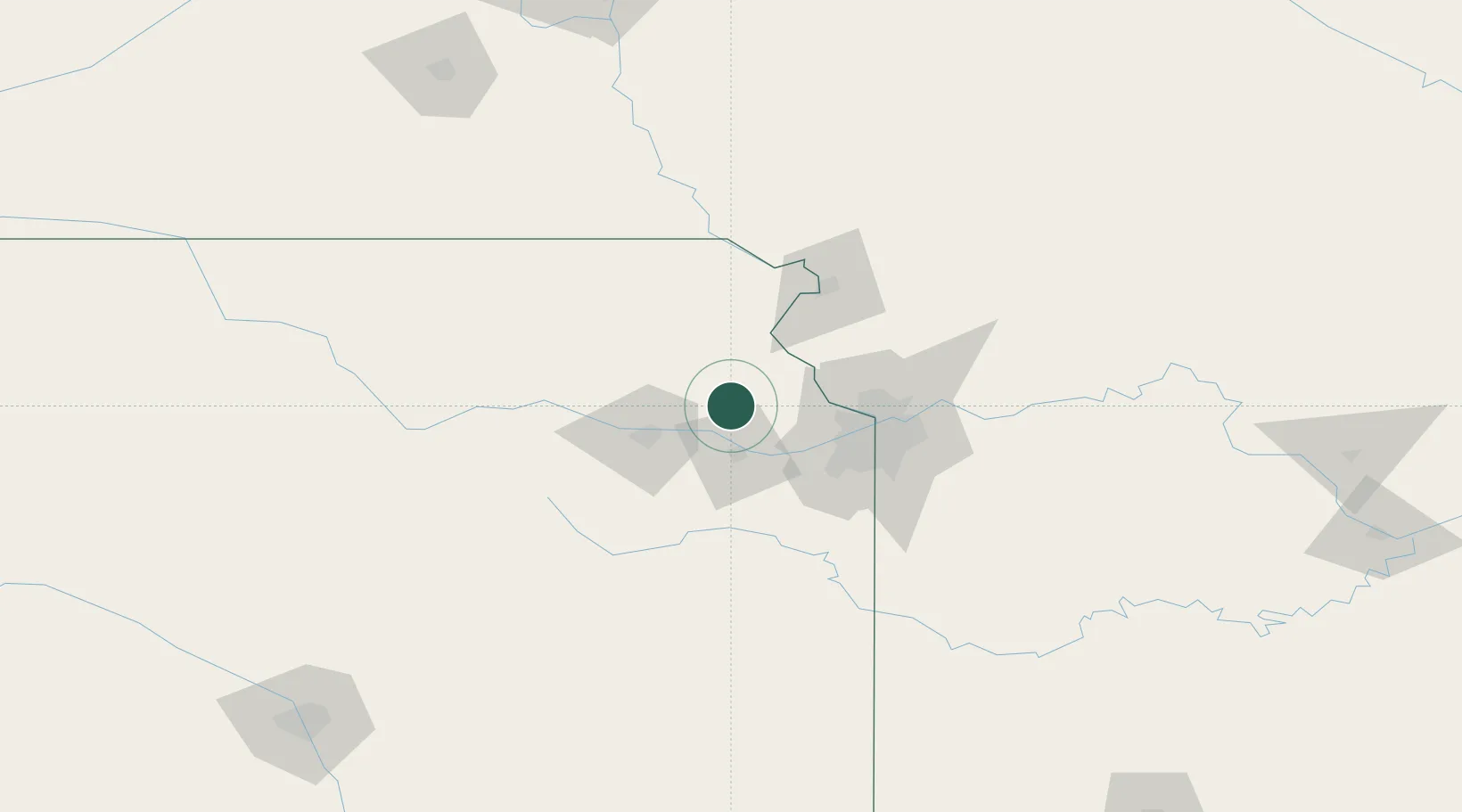
Oskaloosa
39.2000°, -95.3000°
1,086
Population
1
Transport functions
Transport Functions
Port
Hub Profile
Place type
Provincial seat
Region
Kansas
Population
1,086
Time zone
America/Chicago
Elevation
340 m
Location
Nearby Logistics Neighbours
Cities
- 1Tonganoxie20 km
- 2Meriden23 km
- 3Nortonville24 km
- 4Linwood32 km
- 5De Soto39 km
Ports
- 1Port Of Memphis647 km
- 2Chicago715 km
- 3Calumet Harbor716 km
- 4Great Lakes717 km
- 5Wilmette718 km
Airports
Trade Zones
- 1FTZ No. 017 Kansas City40 km
- 2FTZ No. 015 Kansas City53 km
- 3FTZ No. 133 Quad-Cities, Iowa Illinois137 km
- 4FTZ No. 059 Lincoln221 km
- 5FTZ No. 161 Sedgwick County272 km
DatabookThe Record of Consolidated Knowledge
United States beyond logistics?