UN/LOCODE hub · United States
USOCX
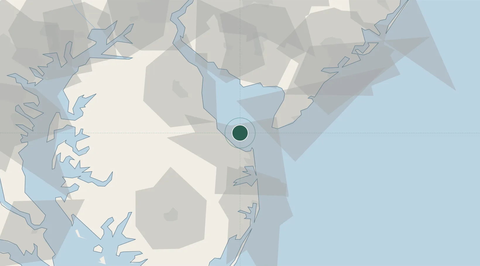
Ocean View
38.9000°, -75.1667°
2,035
Population
4
Transport functions
Transport Functions
Port
Rail
Road
Multimodal
Hub Profile
Place type
Populated place
Region
Delaware
Population
2,035
Time zone
America/New_York
Elevation
4 m
Location
Nearby Logistics Neighbours
Cities
- 1Big Stone16 km
- 2Cape May22 km
- 3Frederica27 km
- 4Rio Grande28 km
- 5North Wildwood32 km
Ports
- 1Ocean City63 km
- 2Salisbury70 km
- 3Atlantic City83 km
- 4Salem Nj90 km
- 5New Castle90 km
Airports
Trade Zones
- 1FTZ No. 142 Salem Millville55 km
- 2FTZ No. 099 Wilmington99 km
- 3FTZ No. 035 Philadelphia123 km
- 4FTZ No. 074 Baltimore131 km
- 5FTZ No. 073 BWI Airport133 km
DatabookThe Record of Consolidated Knowledge
United States beyond logistics?