Transport Functions
Rail
Road
Multimodal
Hub Profile
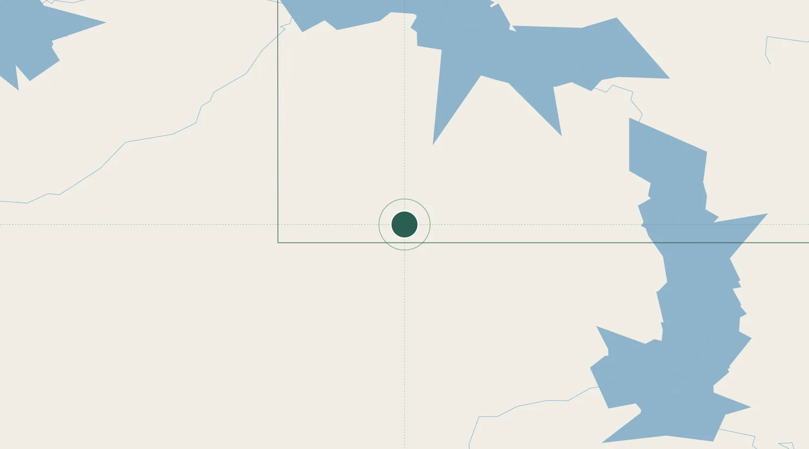
Place type
Populated place
Region
North Dakota
Population
159
Time zone
America/Denver
Elevation
857 m
Location
Nearby Logistics Neighbours
Cities
- 1Gascoyne10 km
- 2Fryburg89 km
- 3Hebron113 km
- 4Glen Ullin117 km
- 5Beach121 km
Ports
- 1Duluth834 km
- 2Superior837 km
- 3Two Harbors869 km
- 4Washburn927 km
- 5Ashland928 km
Airports
Trade Zones
- 1FTZ No. 267 Fargo466 km
- 2FTZ No. 103 Grand Forks482 km
- 3Global Transportation Hub Authority501 km
- 4FTZ No. 220 Sioux Falls562 km
- 5Winnipegs Centreport Canada604 km
DatabookThe Record of Consolidated Knowledge
United States beyond logistics?