Transport Functions
Rail
Road
Multimodal
Hub Profile
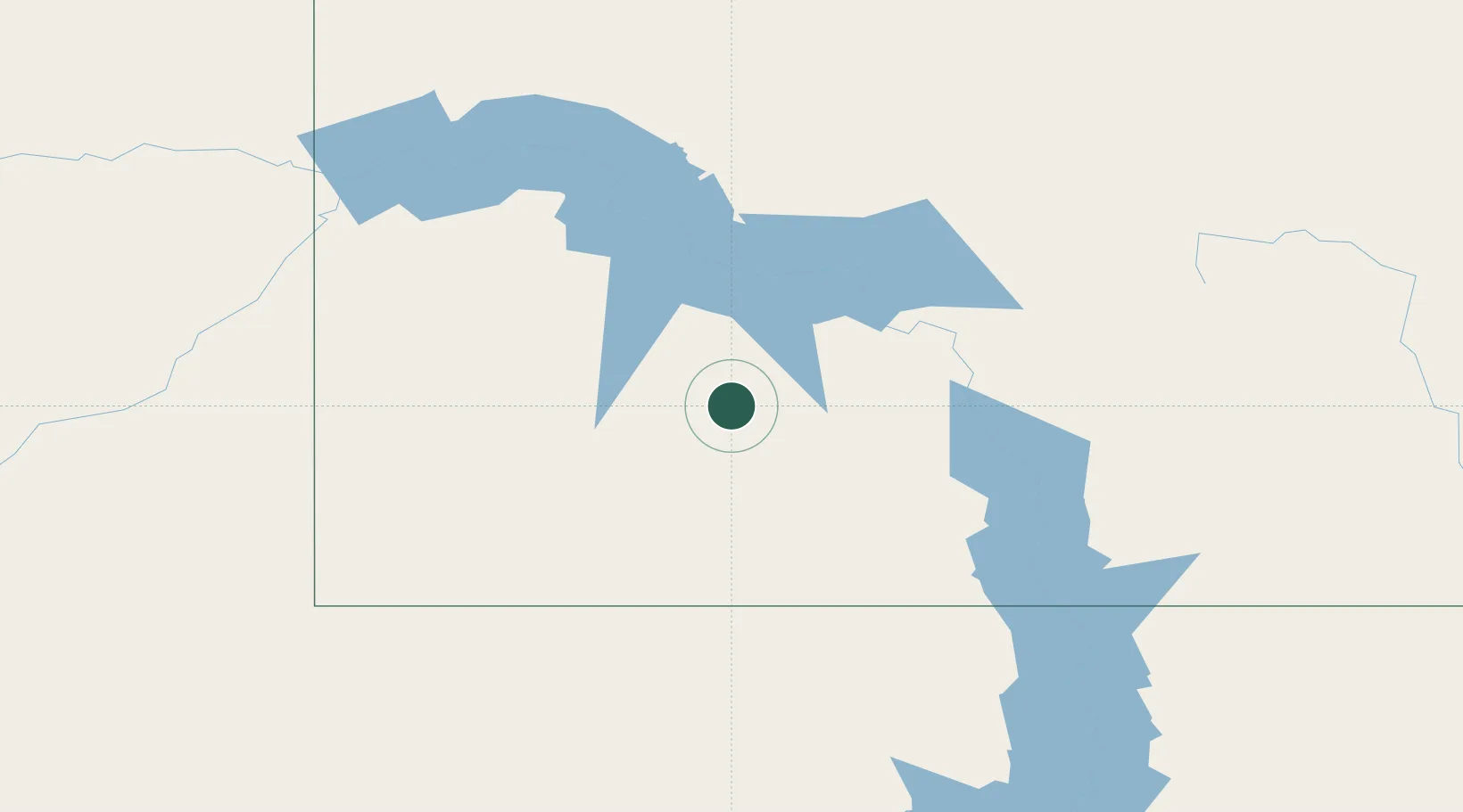
Place type
Populated place
Region
North Dakota
Population
691
Time zone
America/North_Dakota/New_Salem
Elevation
661 m
Location
Nearby Logistics Neighbours
Cities
- 1Glen Ullin19 km
- 2Beulah44 km
- 3Mandan89 km
- 4Underwood92 km
- 5Fryburg95 km
Ports
- 1Duluth757 km
- 2Superior759 km
- 3Two Harbors789 km
- 4Washburn850 km
- 5Ashland852 km
Airports
Trade Zones
- 1FTZ No. 103 Grand Forks384 km
- 2FTZ No. 267 Fargo386 km
- 3Global Transportation Hub Authority441 km
- 4Winnipegs Centreport Canada492 km
- 5FTZ No. 220 Sioux Falls555 km
DatabookThe Record of Consolidated Knowledge
United States beyond logistics?