UN/LOCODE hub · United States
USGUI
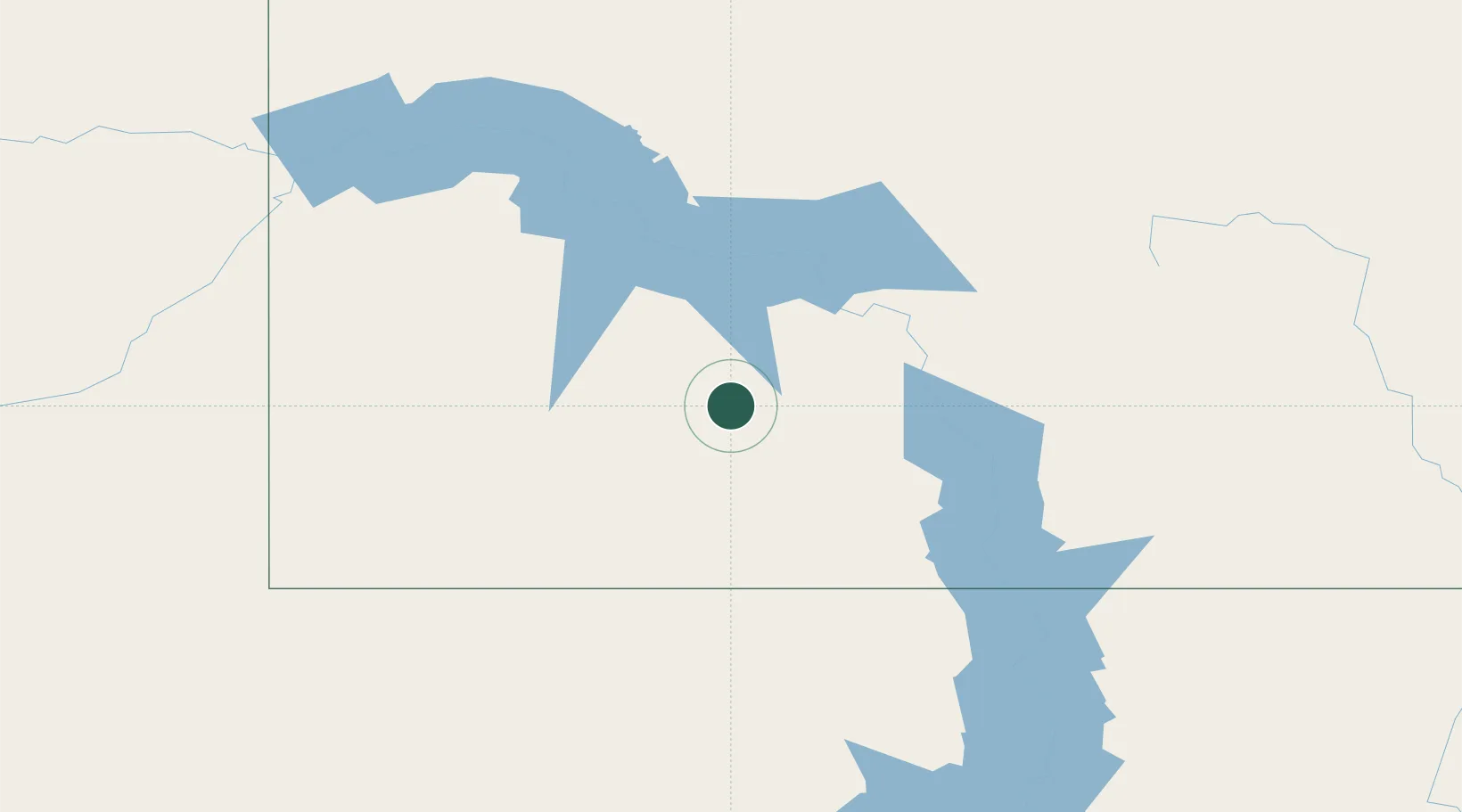
Glen Ullin
46.8167°, -101.8333°
743
Population
2
Transport functions
Transport Functions
Rail
Road
Hub Profile
Place type
Populated place
Region
North Dakota
Population
743
Time zone
America/North_Dakota/New_Salem
Elevation
635 m
Location
Nearby Logistics Neighbours
Cities
- 1Hebron19 km
- 2Beulah48 km
- 3Mandan72 km
- 4Underwood88 km
- 5Turtle Lake106 km
Ports
- 1Duluth741 km
- 2Superior743 km
- 3Two Harbors773 km
- 4Washburn834 km
- 5Ashland836 km
Airports
Trade Zones
- 1FTZ No. 267 Fargo370 km
- 2FTZ No. 103 Grand Forks372 km
- 3Global Transportation Hub Authority457 km
- 4Winnipegs Centreport Canada487 km
- 5FTZ No. 220 Sioux Falls536 km
DatabookThe Record of Consolidated Knowledge
United States beyond logistics?