Transport Functions
Port
Rail
Road
Hub Profile
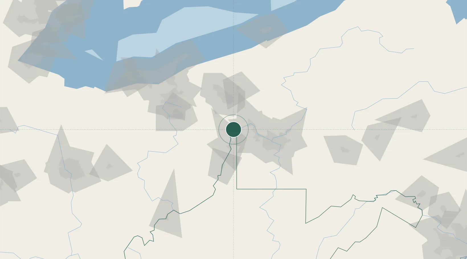
Place type
Populated place
Region
West Virginia
Population
2,498
Time zone
America/New_York
Elevation
215 m
Location
Nearby Logistics Neighbours
Cities
- 1Congo6 km
- 2Midland10 km
- 3Hammondsville14 km
- 4New Cumberland14 km
- 5Ohioview16 km
Airports
Trade Zones
- 1FTZ No. 033 Pittsburgh48 km
- 2FTZ No. 181 Akron Canton106 km
- 3FTZ No. 040 Cleveland145 km
- 4FTZ No. 295 Central Pennsylvania164 km
- 5FTZ No. 247 Erie171 km
DatabookThe Record of Consolidated Knowledge
United States beyond logistics?