Transport Functions
Rail
Road
Multimodal
Hub Profile
Place type
Populated place
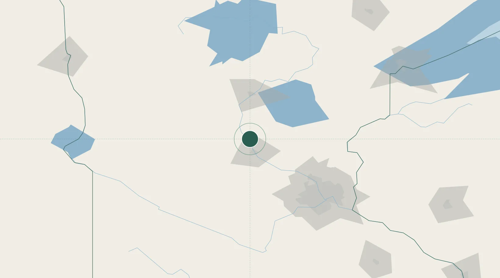
Region
Minnesota
Population
1,361
Time zone
America/Chicago
Elevation
323 m
Location
Nearby Logistics Neighbours
Cities
- 1Collegeville20 km
- 2Waite Park22 km
- 3Saint Joseph23 km
- 4Little Falls25 km
- 5Albany29 km
Ports
- 1Duluth200 km
- 2Superior200 km
- 3Two Harbors244 km
- 4Ashland277 km
- 5Washburn278 km
Airports
Trade Zones
- 1FTZ No. 119 Minneapolis-St. Paul118 km
- 2FTZ No. 051 Duluth191 km
- 3FTZ No. 267 Fargo242 km
- 4FTZ No. 259 Koochiching County281 km
- 5FTZ No. 220 Sioux Falls317 km
DatabookThe Record of Consolidated Knowledge
United States beyond logistics?