UN/LOCODE hub · United States
USER5

East Rio

44.7667°, -90.5833°
1
Transport functions

Transport Functions

Multimodal
UN/LOCODE

Hub Profile

Region
WI
GeoNames

Location

Location of USER5
Natural Earth 10m (public domain) · WI · USER5 · 44.77, -90.58GoogleOSMYandex

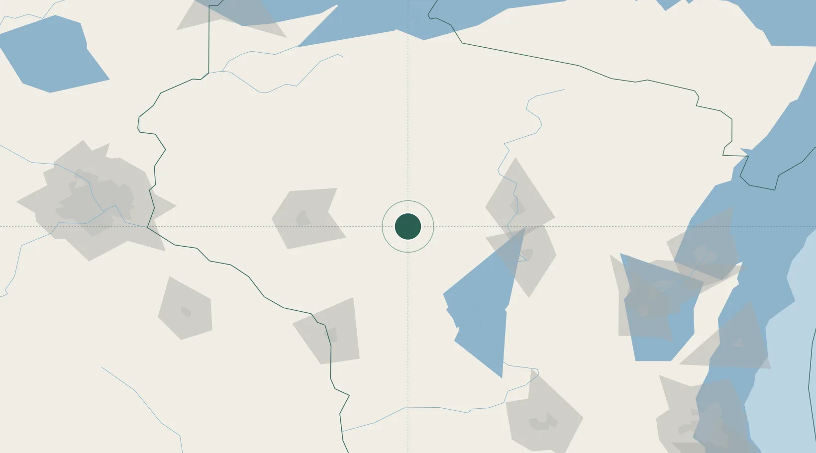
Nearby Logistics Neighbours

Cities
  1. 1Owen20 km
  2. 2Granton23 km
  3. 3Curtiss24 km
  4. 4Unity24 km
  5. 5Stanley34 km
Nearest neighbours — logibook spatial index (haversine) over the source coordinates
Ports
  1. 1Kaukauna191 km
  2. 2Green Bay205 km
  3. 3Ashland205 km
  4. 4Washburn213 km
  5. 5Oconto218 km
Nearest neighbours — logibook spatial index (haversine) over the source coordinates
Airports
  1. 1Chippewa Valley Regional Airport72 km
  2. 2Central Wisconsin Airport72 km
  3. 3Wausau Downtown Airport78 km
  4. 4Volk Field96 km
  5. 5La Crosse Regional Airport112 km
Nearest neighbours — logibook spatial index (haversine) over the source coordinates
Trade Zones
  1. 1FTZ No. 167 Brown County185 km
  2. 2FTZ No. 266 Dane County201 km
  3. 3FTZ No. 119 Minneapolis-St. Paul210 km
  4. 4FTZ No. 051 Duluth257 km
  5. 5FTZ No. 271 Jo-Daviess and Carroll Counties274 km
Nearest neighbours — logibook spatial index (haversine) over the source coordinates
DatabookThe Record of Consolidated Knowledge
United States beyond logistics?
Browse databook

All Sources

LocationsUN/LOCODE
UN/LOCODE — free
Portsthe NGA World Port Index
Public domain (US gov)
AirportsOurAirports
Public domain
Trade Zonesthe World Bank SEZ database
CC BY 4.0
Trade ZonesOpen Zone Map
CC BY
← United States locations