Transport Functions
Rail
Road
Hub Profile
Place type
Populated place
Region
Minnesota
Population
774
Time zone
America/Chicago
Elevation
353 m
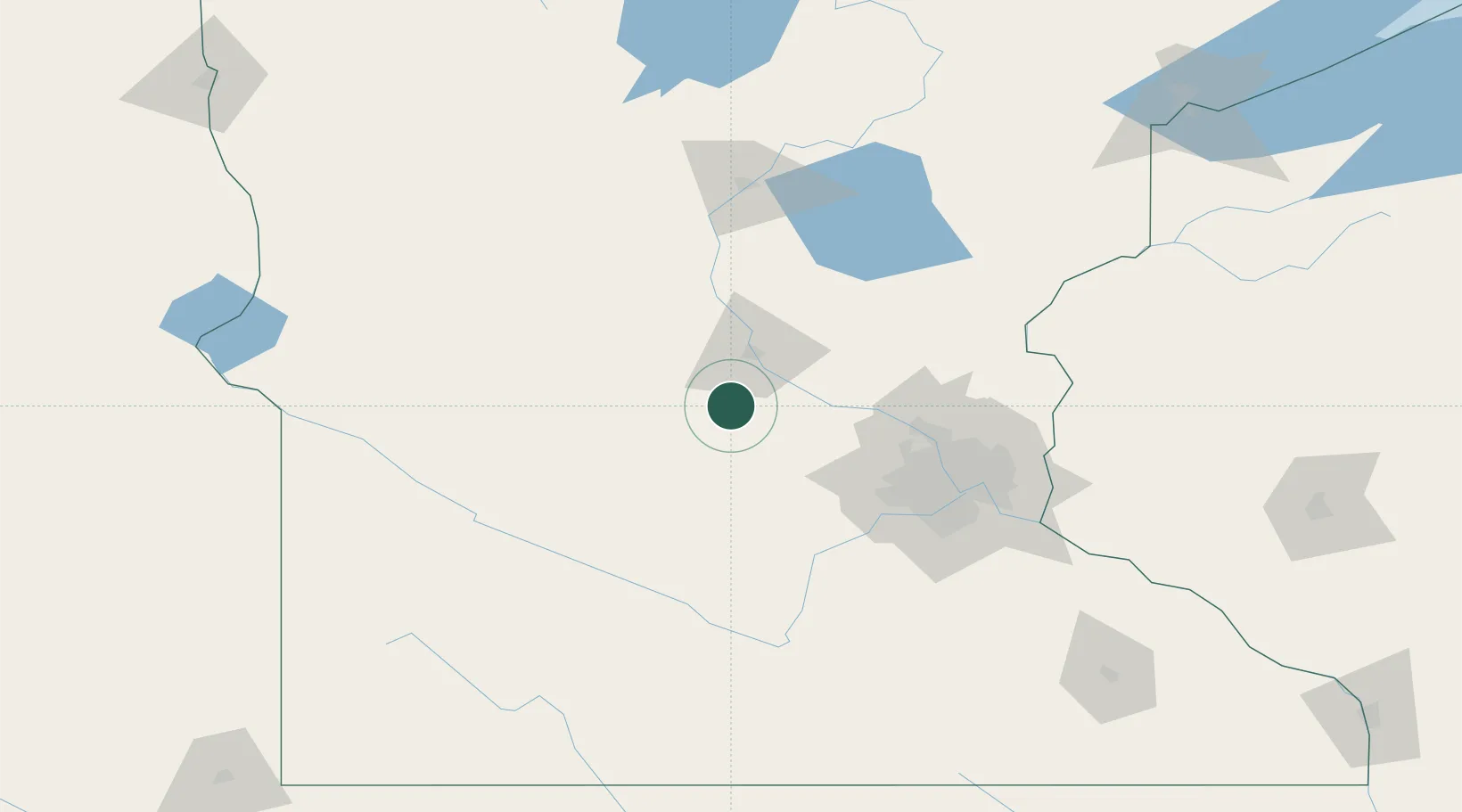
Location
Nearby Logistics Neighbours
Cities
- 1Watkins9 km
- 2Annandale15 km
- 3Rockville17 km
- 4Eden Valley18 km
- 5Clearwater23 km
Ports
- 1Superior234 km
- 2Duluth234 km
- 3Two Harbors278 km
- 4Ashland301 km
- 5Washburn304 km
Airports
Trade Zones
- 1FTZ No. 119 Minneapolis-St. Paul92 km
- 2FTZ No. 051 Duluth226 km
- 3FTZ No. 267 Fargo268 km
- 4FTZ No. 288 Northwest Iowa278 km
- 5FTZ No. 220 Sioux Falls279 km
DatabookThe Record of Consolidated Knowledge
United States beyond logistics?