UN/LOCODE hub · United States
USMF9
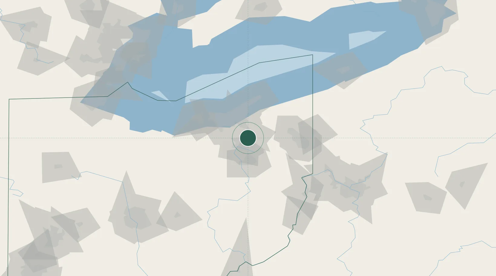
Munroe Falls
41.1500°, -81.4333°
5,019
Population
2
Transport functions
Transport Functions
Rail
Road
Hub Profile
Place type
Populated place
Region
Ohio
Population
5,019
Time zone
America/New_York
Elevation
314 m
Location
Nearby Logistics Neighbours
Cities
- 1Peninsula14 km
- 2Fairlawn14 km
- 3Ravenna17 km
- 4Rootstown18 km
- 5Sagamore Hills23 km
Airports
Trade Zones
- 1FTZ No. 181 Akron Canton34 km
- 2FTZ No. 040 Cleveland52 km
- 3FTZ No. 033 Pittsburgh141 km
- 4FTZ No. 247 Erie154 km
- 5FTZ No. 008 Toledo184 km
DatabookThe Record of Consolidated Knowledge
United States beyond logistics?