UN/LOCODE hub · United States
USQZY
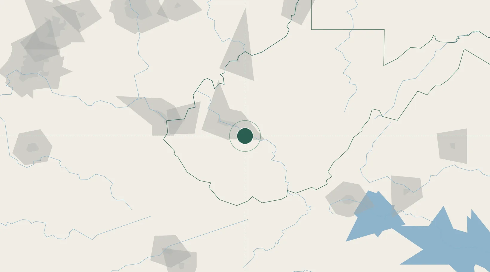
Shrewsbury
38.2000°, -81.4667°
652
Population
1
Transport functions
Transport Functions
Multimodal
Hub Profile
Place type
Populated place
Region
West Virginia
Population
652
Time zone
America/New_York
Elevation
190 m
Location
Nearby Logistics Neighbours
Cities
- 1Rand10 km
- 2Eskdale13 km
- 3Montgomery14 km
- 4Clendenin34 km
- 5Madison34 km
Ports
- 1Fredericksburg351 km
- 2Richmond363 km
- 3Cleveland368 km
- 4Vermilion368 km
- 5Huron368 km
Airports
Trade Zones
- 1FTZ No. 229 Charleston27 km
- 2FTZ No. 238 Dublin140 km
- 3FTZ No. 204 Tri-Cities209 km
- 4FTZ No. 138 Franklin County220 km
- 5FTZ No. 054 Clinton County243 km
DatabookThe Record of Consolidated Knowledge
United States beyond logistics?