Transport Functions
Rail
Road
Multimodal
Hub Profile
Place type
Provincial seat
Region
West Virginia
Population
2,929
Time zone
America/New_York
Elevation
214 m
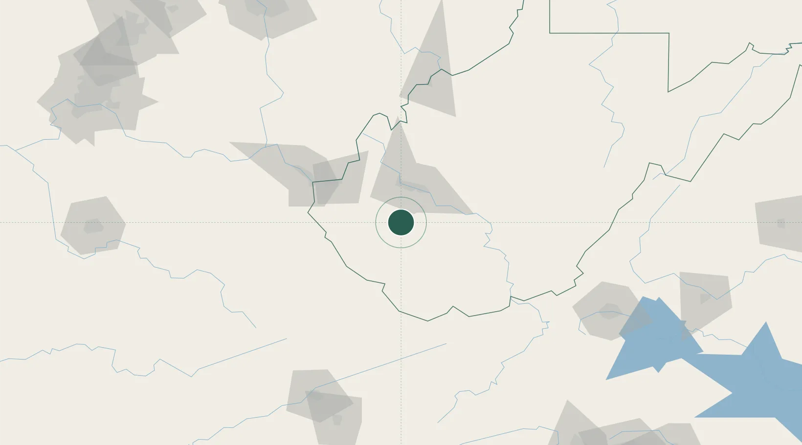
Location
Nearby Logistics Neighbours
Cities
- 1Chapmanville21 km
- 2Eskdale32 km
- 3Rand32 km
- 4Whitman33 km
- 5Monaville33 km
Ports
- 1Huron376 km
- 2Vermilion377 km
- 3Lorain379 km
- 4Cleveland382 km
- 5Fredericksburg383 km
Airports
Trade Zones
- 1FTZ No. 229 Charleston32 km
- 2FTZ No. 238 Dublin146 km
- 3FTZ No. 204 Tri-Cities184 km
- 4FTZ No. 138 Franklin County217 km
- 5FTZ No. 054 Clinton County228 km
DatabookThe Record of Consolidated Knowledge
United States beyond logistics?