Transport Functions
Multimodal
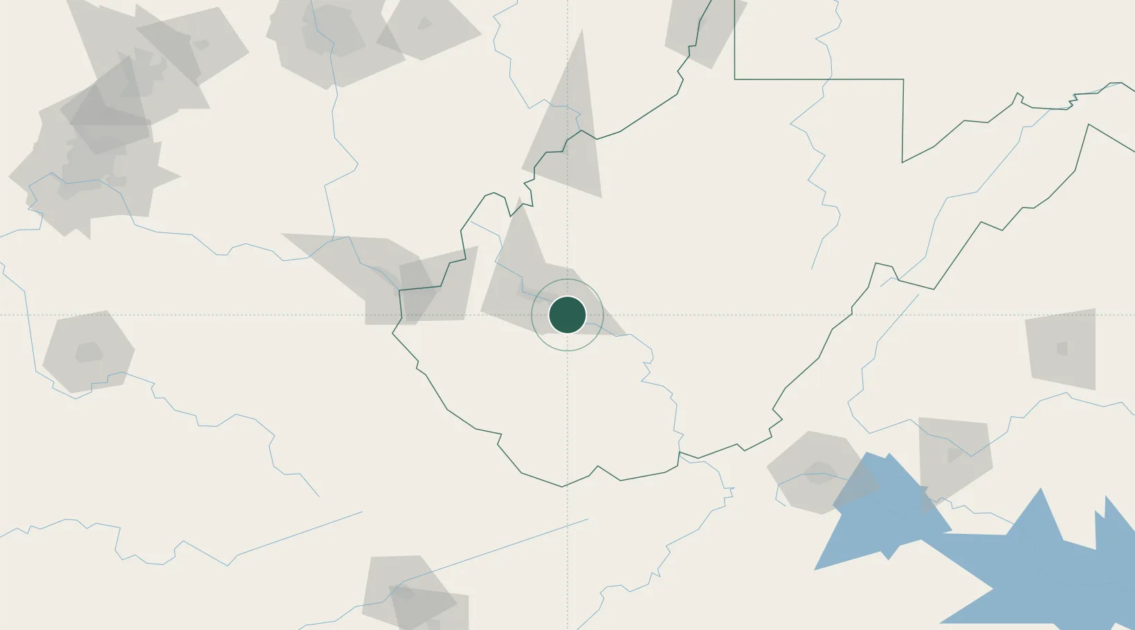
Hub Profile
Place type
Populated place
Region
West Virginia
Population
1,631
Time zone
America/New_York
Elevation
187 m
Location
Nearby Logistics Neighbours
Cities
- 1Shrewsbury10 km
- 2Eskdale22 km
- 3Montgomery23 km
- 4Cross Lanes26 km
- 5Saint Albans27 km
Ports
- 1Fredericksburg358 km
- 2Huron359 km
- 3Vermilion359 km
- 4Cleveland360 km
- 5Lorain360 km
Airports
Trade Zones
- 1FTZ No. 229 Charleston17 km
- 2FTZ No. 238 Dublin150 km
- 3FTZ No. 138 Franklin County210 km
- 4FTZ No. 204 Tri-Cities213 km
- 5FTZ No. 054 Clinton County233 km
DatabookThe Record of Consolidated Knowledge
United States beyond logistics?