UN/LOCODE hub · United States
USIUH
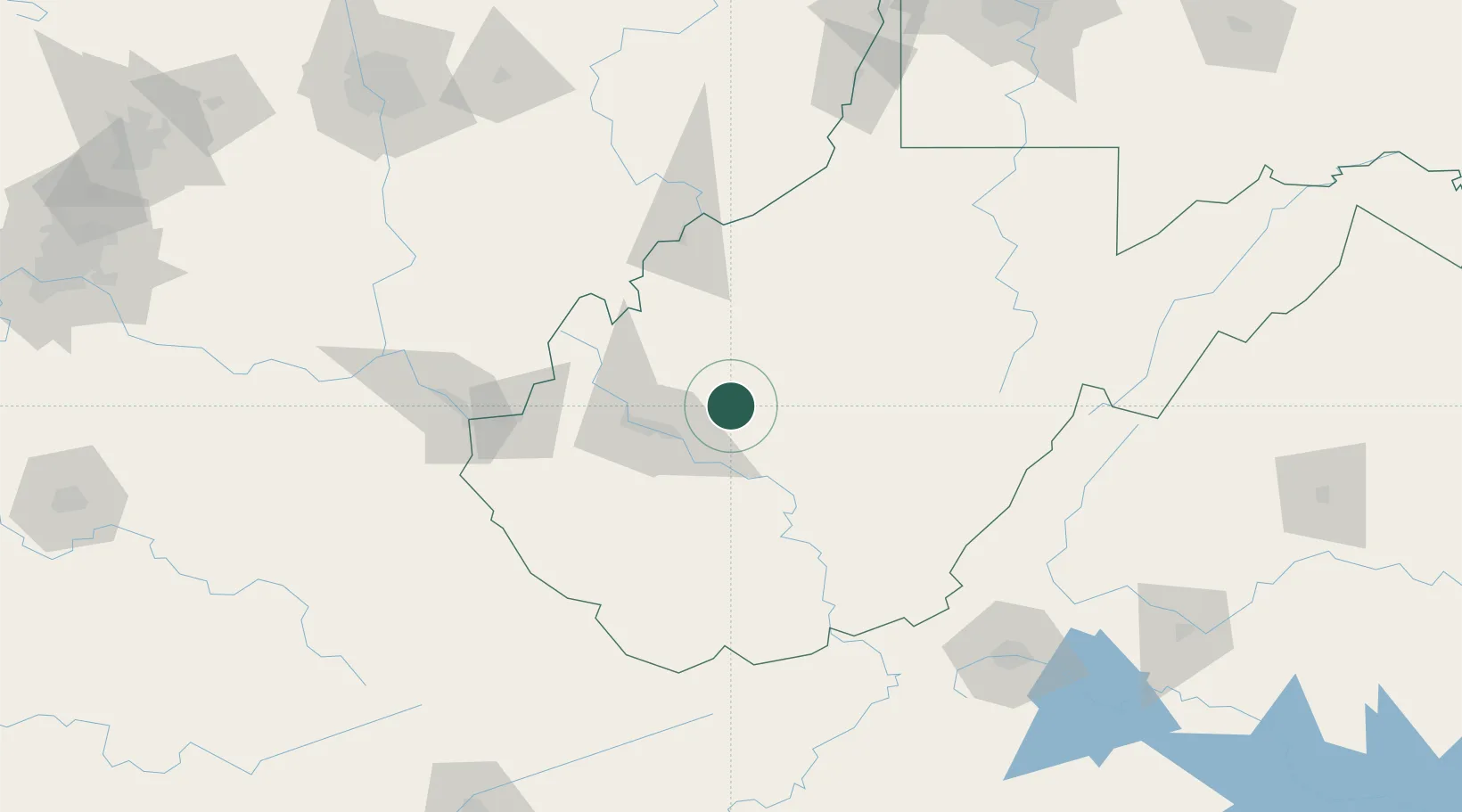
Clendenin
38.4833°, -81.3333°
1,187
Population
2
Transport functions
Transport Functions
Port
Multimodal
Hub Profile
Place type
Populated place
Region
West Virginia
Population
1,187
Time zone
America/New_York
Elevation
190 m
Location
Nearby Logistics Neighbours
Cities
- 1Sissonville25 km
- 2Rand31 km
- 3Shrewsbury34 km
- 4Montgomery35 km
- 5Cross Lanes40 km
Ports
- 1Cleveland337 km
- 2Fredericksburg339 km
- 3Lorain340 km
- 4Vermilion340 km
- 5Huron341 km
Airports
Trade Zones
- 1FTZ No. 229 Charleston37 km
- 2FTZ No. 238 Dublin164 km
- 3FTZ No. 138 Franklin County203 km
- 4FTZ No. 054 Clinton County237 km
- 5FTZ No. 204 Tri-Cities242 km
DatabookThe Record of Consolidated Knowledge
United States beyond logistics?