Transport Functions
Port
Rail
Road
Multimodal
Hub Profile
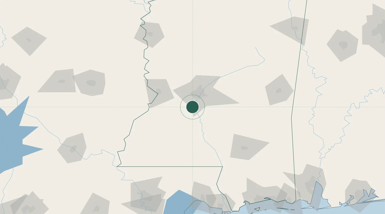
Place type
Populated place
Region
Mississippi
Population
1,103
Time zone
America/Chicago
Elevation
89 m
Location
Nearby Logistics Neighbours
Cities
- 1Byram12 km
- 2Braxton31 km
- 3Brandon35 km
- 4Edwards40 km
- 5Pocahontas43 km
Ports
- 1Madisonville188 km
- 2Baton Rouge201 km
- 3Slidell208 km
- 4Gulfport224 km
- 5Reserve228 km
Airports
Trade Zones
- 1FTZ No. 158 Vicksburg Jackson54 km
- 2FTZ No. 154 Baton Rouge205 km
- 3FTZ No. 155 Calhoun Victoria Counties205 km
- 4FTZ No. 092 Harrison County224 km
- 5FTZ No. 124 Gramercy229 km
DatabookThe Record of Consolidated Knowledge
United States beyond logistics?