Transport Functions
Rail
Road
Hub Profile
Place type
Populated place
Region
Mississippi
Population
1,019
Time zone
America/Chicago
Elevation
73 m
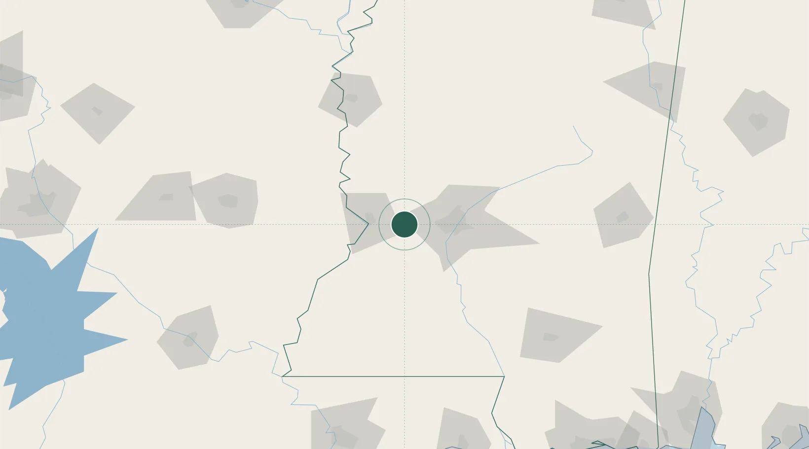
Location
Nearby Logistics Neighbours
Cities
- 1Vicksburg26 km
- 2Redwood26 km
- 3Ballground27 km
- 4Pocahontas34 km
- 5Byram36 km
Ports
- 1Baton Rouge215 km
- 2Madisonville217 km
- 3Slidell241 km
- 4Reserve252 km
- 5Convent257 km
Airports
Trade Zones
- 1FTZ No. 158 Vicksburg Jackson18 km
- 2FTZ No. 154 Baton Rouge218 km
- 3FTZ No. 155 Calhoun Victoria Counties218 km
- 4FTZ No. 124 Gramercy251 km
- 5FTZ No. 287 Tunica County260 km
DatabookThe Record of Consolidated Knowledge
United States beyond logistics?