Transport Functions
Rail
Road
Multimodal
Hub Profile
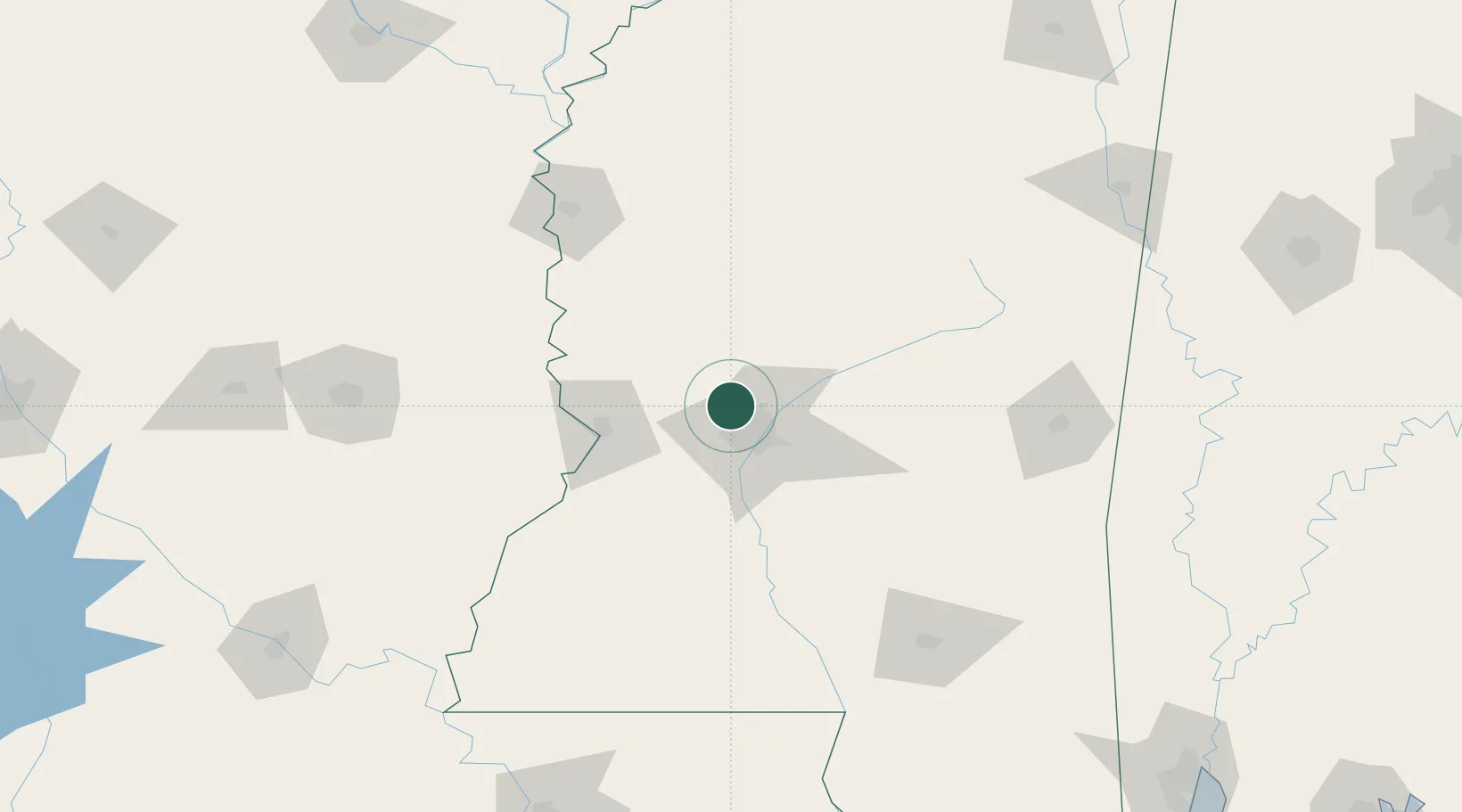
Place type
Populated place
Region
Mississippi
Time zone
America/Chicago
Elevation
74 m
Location
Nearby Logistics Neighbours
Ports
- 1Madisonville230 km
- 2Baton Rouge240 km
- 3Slidell249 km
- 4Gulfport262 km
- 5Biloxi267 km
Airports
Trade Zones
DatabookThe Record of Consolidated Knowledge
United States beyond logistics?