Transport Functions
Rail
Road
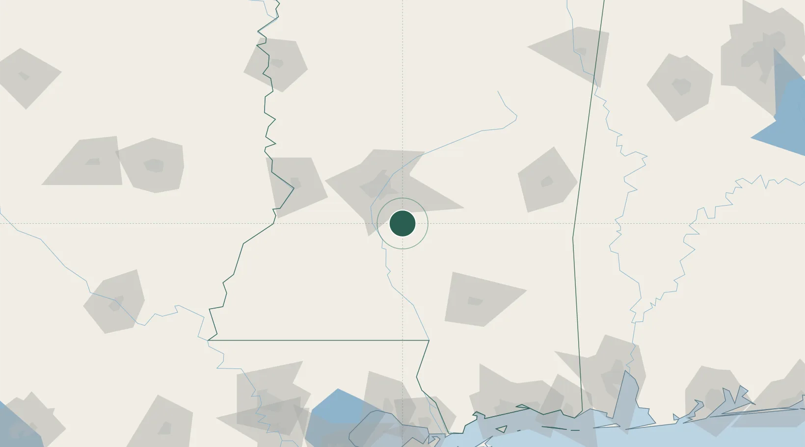
Hub Profile
Place type
Populated place
Region
Mississippi
Population
181
Time zone
America/Chicago
Elevation
108 m
Location
Nearby Logistics Neighbours
Ports
- 1Madisonville181 km
- 2Slidell195 km
- 3Gulfport204 km
- 4Biloxi209 km
- 5Baton Rouge209 km
Airports
Trade Zones
- 1FTZ No. 158 Vicksburg Jackson84 km
- 2FTZ No. 092 Harrison County202 km
- 3FTZ No. 154 Baton Rouge214 km
- 4FTZ No. 155 Calhoun Victoria Counties214 km
- 5FTZ No. 124 Gramercy229 km
DatabookThe Record of Consolidated Knowledge
United States beyond logistics?