Transport Functions
Rail
Road
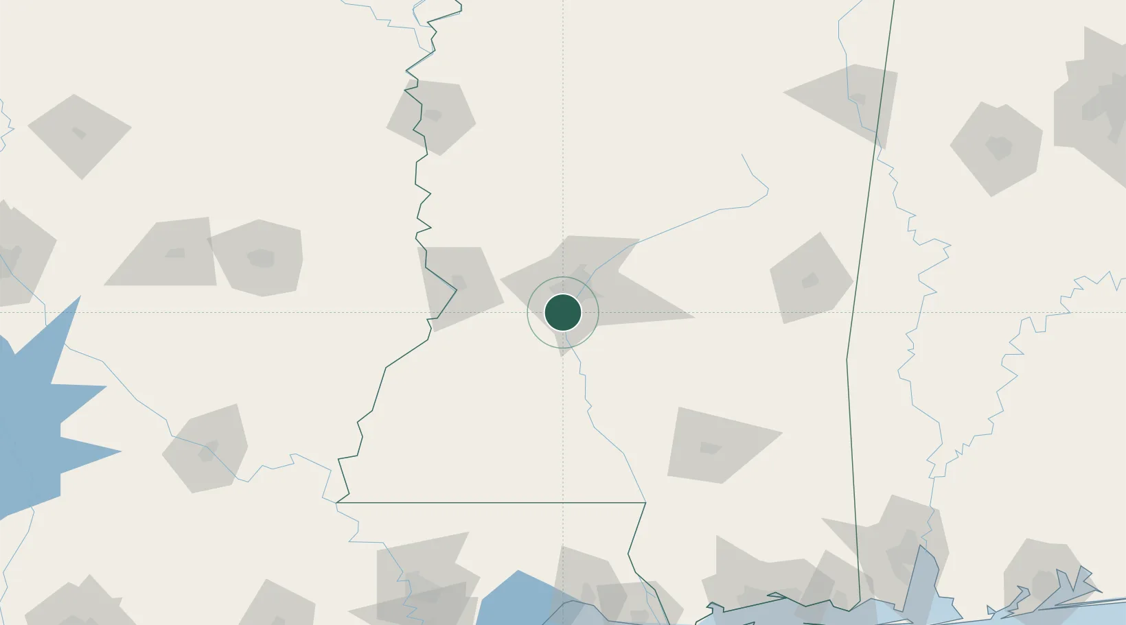
Hub Profile
Place type
Populated place
Region
Mississippi
Population
11,509
Time zone
America/Chicago
Elevation
81 m
Location
Nearby Logistics Neighbours
Cities
- 1Terry12 km
- 2Brandon27 km
- 3Pocahontas32 km
- 4Braxton33 km
- 5Edwards36 km
Ports
- 1Madisonville199 km
- 2Baton Rouge212 km
- 3Slidell218 km
- 4Gulfport232 km
- 5Biloxi239 km
Airports
Trade Zones
- 1FTZ No. 158 Vicksburg Jackson53 km
- 2FTZ No. 154 Baton Rouge216 km
- 3FTZ No. 155 Calhoun Victoria Counties216 km
- 4FTZ No. 092 Harrison County231 km
- 5FTZ No. 124 Gramercy240 km
DatabookThe Record of Consolidated Knowledge
United States beyond logistics?