UN/LOCODE hub · United States
USQTL

Steele

36.0833°, -89.8333°
2,103
Population
2
Transport functions

Transport Functions

Rail
Road
UN/LOCODE

Hub Profile

Place type
Populated place
GeoNames
Region
Missouri
GeoNames
Population
2,103
GeoNames
Time zone
America/Chicago
GeoNames
Elevation
80 m
GeoNames

Location

Location of USQTL
Natural Earth 10m (public domain) · Missouri · USQTL · 36.08, -89.83GoogleOSMYandex

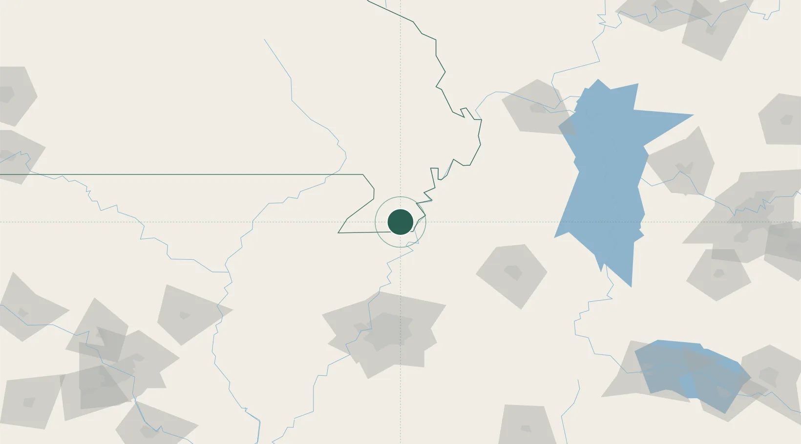
Nearby Logistics Neighbours

Cities
  1. 1Holland5 km
  2. 2Hayti18 km
  3. 3Dell32 km
  4. 4Arbyrd36 km
  5. 5Portageville39 km
Nearest neighbours — logibook spatial index (haversine) over the source coordinates
Ports
  1. 1Port Of Memphis117 km
  2. 2Mobile621 km
  3. 3Madisonville633 km
  4. 4Baton Rouge639 km
  5. 5Biloxi640 km
Nearest neighbours — logibook spatial index (haversine) over the source coordinates
Airports
  1. 1Arkansas International Airport17 km
  2. 2Jonesboro Municipal Airport78 km
  3. 3Millington-Memphis Airport81 km
  4. 4McKellar-Sipes Regional Airport99 km
  5. 5Memphis International Airport116 km
Nearest neighbours — logibook spatial index (haversine) over the source coordinates
Trade Zones
  1. 1FTZ No. 283 West Tennessee40 km
  2. 2FTZ No. 223 Memphis109 km
  3. 3FTZ No. 273 West Memphis109 km
  4. 4FTZ No. 077 Memphis113 km
  5. 5FTZ No. 262 Southaven127 km
Nearest neighbours — logibook spatial index (haversine) over the source coordinates
DatabookThe Record of Consolidated Knowledge
United States beyond logistics?
Browse databook

All Sources

LocationsUN/LOCODE
UN/LOCODE — free
LocationsGeoNames
CC BY 4.0
Portsthe NGA World Port Index
Public domain (US gov)
AirportsOurAirports
Public domain
Trade Zonesthe World Bank SEZ database
CC BY 4.0
Trade ZonesOpen Zone Map
CC BY
← United States locations