Transport Functions
Road
Multimodal
Hub Profile
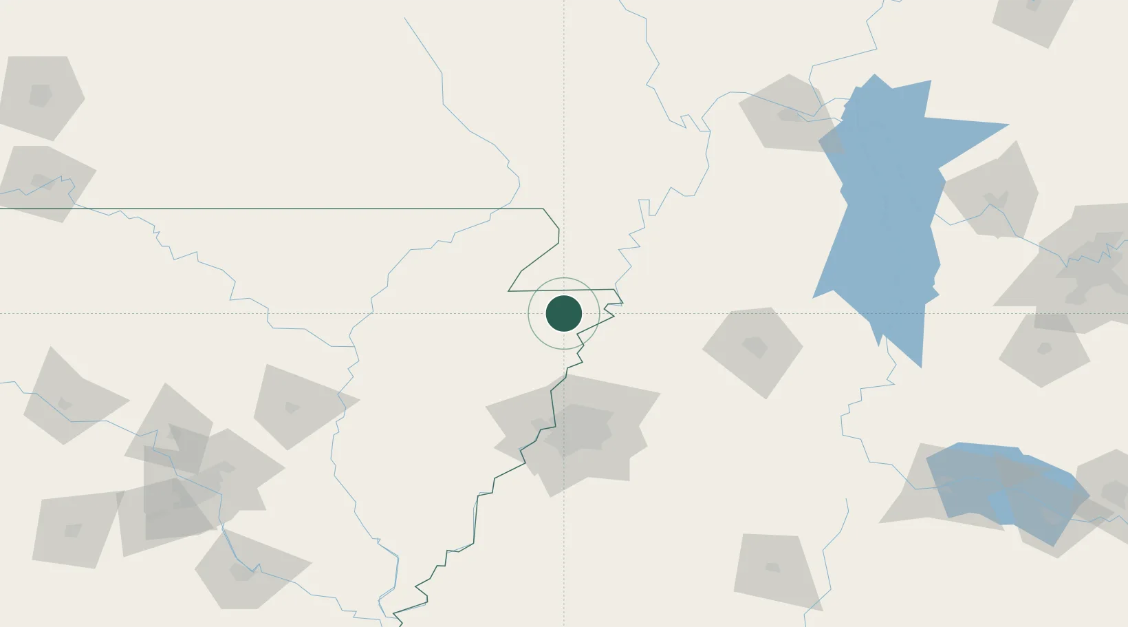
Place type
Populated place
Region
Arkansas
Population
209
Time zone
America/Chicago
Elevation
73 m
Location
Nearby Logistics Neighbours
Cities
- 1Leachville22 km
- 2Holland27 km
- 3Arbyrd29 km
- 4Steele32 km
- 5Evadale34 km
Ports
- 1Port Of Memphis88 km
- 2Mobile602 km
- 3Madisonville606 km
- 4Baton Rouge610 km
- 5Biloxi617 km
Airports
Trade Zones
- 1FTZ No. 283 West Tennessee34 km
- 2FTZ No. 273 West Memphis80 km
- 3FTZ No. 223 Memphis81 km
- 4FTZ No. 077 Memphis83 km
- 5FTZ No. 262 Southaven100 km
DatabookThe Record of Consolidated Knowledge
United States beyond logistics?