Transport Functions
Rail
Road
Multimodal
Hub Profile
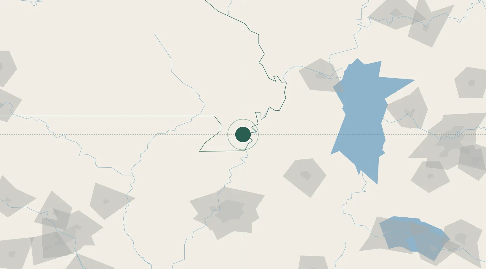
Place type
Populated place
Region
Missouri
Population
2,787
Time zone
America/Chicago
Elevation
82 m
Location
Nearby Logistics Neighbours
Cities
- 1Steele18 km
- 2Portageville21 km
- 3Holland23 km
- 4Gideon28 km
- 5Parma43 km
Ports
- 1Port Of Memphis135 km
- 2Gary634 km
- 3Mobile635 km
- 4Indiana Harbor636 km
- 5Calumet Harbor641 km
Airports
Trade Zones
- 1FTZ No. 283 West Tennessee54 km
- 2FTZ No. 223 Memphis127 km
- 3FTZ No. 273 West Memphis127 km
- 4FTZ No. 077 Memphis131 km
- 5FTZ No. 294 Western Kentucky140 km
DatabookThe Record of Consolidated Knowledge
United States beyond logistics?